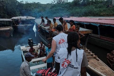
Change detection analysis in response to Cyclone Batsirai Madagascar
15. 8. 2022
Laurie Boobier

Summary
To respond to the cyclone emergency in Madagascar, Médecins Sans Frontières (MSF) used a new MapSwipe method to assess damage. Developed by the Heidelberg Institute of Geoinformation Technology (HeiGIT) and Laurent Savaete, a long-time MapSwipe software engineer. This innovative function saw the light thanks to the funding support of the Humanitarian OpenStreetMap Team and the assistance of amazing volunteers with translations.
Read more
Read the whole article on the Missing Maps blog.
