Locating isolated herders (14)

Přehled projektů
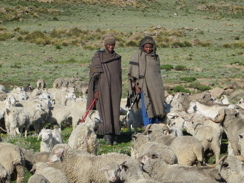
The Highlands of Lesotho occupies the largest part of the country and is characterised by rugged terrain, with remote villages which are difficult to reach. It is also known for heavy snow during winter season. This harsh weather poses a life threat to herders in remote pasture lands, commonly known as Cattle Post Areas, often losing their lives trapped in snow and aid workers unable to locate them. In this project, help us to identify buildings and huts so that humanitarian aid workers know where to go when disaster strikes
Stáhnout data
Souhrnné výsledky
Souhrnné výsledky (s geometrií)
HOT Tasking Manager Geometrie
Střední až vysoká shoda Ano Možná geometrie
Skupiny
Historie
Výsledky
Úlohy
Uživatelé
Oblast zájmu
Naše licence
Tento projekt je součástí komunity OpenStreetMap. Cílem jsou vysoce kvalitní geografická data, která jsou volně přístupná a dostupná všem. Vzájemná licence OSM chrání data před přivlastněním službami, které je nesdílejí zpět do OSM.
MapSwipe je uvolněn pod "liberální" nereciproční licencí (Creative Commons Attribution). Kdykoli budete chtít data použít, nezapomeňte uvést přispěvatele MapSwipe.
