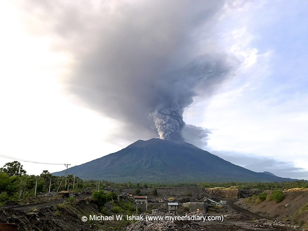
Change Detection Mount Agung (1)

Přehled projektů
This is a change detection project type. You are looking for changes in the satellite imagery which show damaged buildings or general changes in the settlement structure. ### Background: Open Knowledge Kit's 10 free and open source tools are being implemented in a humanitarian and local pandemic recovery program for presentation at several G20 events. Humanitarian early warning and rapid assessment systems at very low cost, and a food, tourism and creative industries regeneration are providing trained, local and mostly non-technical women with 2-17 times higher local wages by removing expensive outside staff, software and equipment. The goal is to shift knowledge and stewardship to the local community and implement cross-sector accountability to address gender, equity and climate gaps for an inclusive pandemic recovery.
Stáhnout data
Souhrnné výsledky
Souhrnné výsledky (s geometrií)
HOT Tasking Manager Geometrie
Střední až vysoká shoda Ano Možná geometrie
Skupiny
Historie
Výsledky
Úlohy
Uživatelé
Oblast zájmu
Naše licence
Tento projekt je součástí komunity OpenStreetMap. Cílem jsou vysoce kvalitní geografická data, která jsou volně přístupná a dostupná všem. Vzájemná licence OSM chrání data před přivlastněním službami, které je nesdílejí zpět do OSM.
MapSwipe je uvolněn pod "liberální" nereciproční licencí (Creative Commons Attribution). Kdykoli budete chtít data použít, nezapomeňte uvést přispěvatele MapSwipe.
