Flood Risk in Lower São Francisco River Area (3)
Přehled projektů
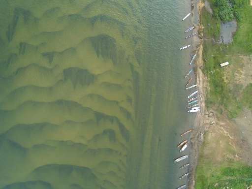
Please help to identify buildings in flood risk areas on both banks of the lower stretch of the São Francisco River. This will allow the identification of populations at risk in the event of extreme events in this region. MapSãoFrancisco aims to produce precise, irrefutable maps of these areas which will enable civil society organizations to demand recognition of this map data in official cartographies.
Stáhnout data
Souhrnné výsledky
Souhrnné výsledky (s geometrií)
HOT Tasking Manager Geometrie
Střední až vysoká shoda Ano Možná geometrie
Skupiny
Historie
Výsledky
Úlohy
Uživatelé
Oblast zájmu
Naše licence
Tento projekt je součástí komunity OpenStreetMap. Cílem jsou vysoce kvalitní geografická data, která jsou volně přístupná a dostupná všem. Vzájemná licence OSM chrání data před přivlastněním službami, které je nesdílejí zpět do OSM.
MapSwipe je uvolněn pod "liberální" nereciproční licencí (Creative Commons Attribution). Kdykoli budete chtít data použít, nezapomeňte uvést přispěvatele MapSwipe.