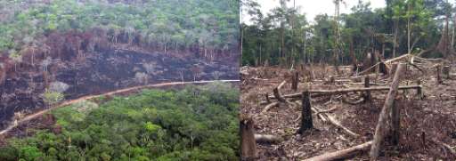
Forest intervened and buildings - Amazonia Colombia depto Guainía (1)

Přehled projektů
Mapping in the Amazon takes on great importance when considering the vulnerability of the population and the imperative need to preserve its valuable natural resources. This region is home to communities exposed to various hazards, and detailed mapping provides essential information for planning mitigation and emergency response strategies. In addition, the Amazon, as a treasure trove of biodiversity, plays a crucial role in global climate stability. Accurate mapping facilitates the identification of critical areas, contributing to the implementation of adaptation, protection and sustainable planning measures to ensure the long-term survival of the region and its people.
Stáhnout data
Souhrnné výsledky
Souhrnné výsledky (s geometrií)
HOT Tasking Manager Geometrie
Střední až vysoká shoda Ano Možná geometrie
Skupiny
Historie
Výsledky
Úlohy
Uživatelé
Oblast zájmu
Naše licence
Tento projekt je součástí komunity OpenStreetMap. Cílem jsou vysoce kvalitní geografická data, která jsou volně přístupná a dostupná všem. Vzájemná licence OSM chrání data před přivlastněním službami, které je nesdílejí zpět do OSM.
MapSwipe je uvolněn pod "liberální" nereciproční licencí (Creative Commons Attribution). Kdykoli budete chtít data použít, nezapomeňte uvést přispěvatele MapSwipe.
