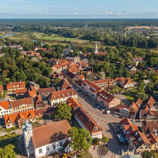
Buildings in Nyasubi Ward (1)

Přehled projektů
Mapping buildings is a crucial step toward building sustainable cities and ensuring that every community is represented on the map. By accurately identifying and documenting structures, urban planners and policymakers can better allocate resources, manage infrastructure, and design interventions that promote sustainable development. For example, mapping efforts can help improve access to essential services like water, electricity, and sanitation while fostering resilience to climate change. Additionally, mapping wards and other administrative units ensures that even remote or underserved areas are visible and included in development initiatives, empowering communities and enhancing their capacity to contribute to broader sustainable goals.
Stáhnout data
Souhrnné výsledky
Souhrnné výsledky (s geometrií)
HOT Tasking Manager Geometrie
Střední až vysoká shoda Ano Možná geometrie
Skupiny
Historie
Výsledky
Úlohy
Uživatelé
Oblast zájmu
Naše licence
Tento projekt je součástí komunity OpenStreetMap. Cílem jsou vysoce kvalitní geografická data, která jsou volně přístupná a dostupná všem. Vzájemná licence OSM chrání data před přivlastněním službami, které je nesdílejí zpět do OSM.
MapSwipe je uvolněn pod "liberální" nereciproční licencí (Creative Commons Attribution). Kdykoli budete chtít data použít, nezapomeňte uvést přispěvatele MapSwipe.
