Find - Buildings in Mapai West (1)
Přehled projektů
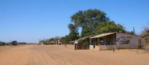
Please look for buildings. To enhance disaster resilience, the Humanitarian OpenStreetMap Team (HOT), the Fundação para o Desenvolvimento da Comunidade (FDC), INGD, and INGD's National Center for Emergency Operations (CENOE) have joined forces on the "Mapping Populations and Services in Rural Mozambique" project. This initiative aims to revolutionize disaster preparedness by integrating modern technology with the invaluable local knowledge of the communities most affected by climate change. Through participatory mapping, the project actively involves communities in data collection and risk assessment, empowering them to play a pivotal role in shaping disaster response strategies. By recognizing the importance of local insights and ensuring community engagement, the project strengthens resilience and enhances the effectiveness of disaster preparedness efforts in Mozambique.
Stáhnout data
Souhrnné výsledky
Souhrnné výsledky (s geometrií)
HOT Tasking Manager Geometrie
Střední až vysoká shoda Ano Možná geometrie
Skupiny
Historie
Výsledky
Úlohy
Uživatelé
Oblast zájmu
Naše licence
Tento projekt je součástí komunity OpenStreetMap. Cílem jsou vysoce kvalitní geografická data, která jsou volně přístupná a dostupná všem. Vzájemná licence OSM chrání data před přivlastněním službami, které je nesdílejí zpět do OSM.
MapSwipe je uvolněn pod "liberální" nereciproční licencí (Creative Commons Attribution). Kdykoli budete chtít data použít, nezapomeňte uvést přispěvatele MapSwipe.