Find Features - Find Buildings - Puerto Maldonado-Perú (1) HOT
Find Features
Active
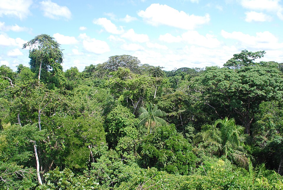
Puerto Maldonado-Perú
HOT
Oct 14, 2025
Project overview
Mapping in areas of high multidimensional poverty is crucial, given that women play an essential role in indigenous populations. They contribute significantly to social cohesion, cultural preservation, and community sustainability. As well as transmitting local knowledge, they take on key responsibilities in natural resource management and environmental preservation. Their active participation strengthens resilience in the face of socio-economic and environmental challenges. In emergency situations, it is imperative to have effective tools, particularly given the potential impact on women. In the context of the Amazon, mapping is critical when considering vulnerability and the need to preserve valuable natural resources. By providing detailed information, this process facilitates strategic planning in the face of threats and contributes to the implementation of adaptation and protection measures, ensuring the long-term survival of the region and its population.
This image was originally posted to Flickr by Ivan Mlinaric at https://flickr.com/photos/22399204@N08/3187862336. It was reviewed on 10 June 2024 by FlickreviewR 2 and was confirmed to be licensed under the terms of the cc-by-2.0.
2715
km2
372
Contributors
Project Completion
99% completed
Last updated: Oct 20, 2025
Download the data
Below you'll find the data downloads for this MapSwipe project, including a GeoJSON file that can be imported into the HOT Tasking Manager for more detailed mapping of the area. If you need more information or if you have a special request related to MapSwipe data get in contact with the team at the Heidelberg Institute for Geoinformation Technology
Aggregated Results
Aggregated Results. This gives you the unfiltered MapSwipe results aggregated on the task level. This is most suited if you want to apply some custom data processing with the MapSwipe data, e.g. select only specific tasks. Check our documentation for more details. (Note that you need to unzip this .gz file before you can use it.)
GZIP
3.7 MB
Aggregated Results (with Geometry)
Aggregated Results. This gives you the unfiltered MapSwipe results aggregated on the task level. This is most suited if you want to apply some custom data processing with the MapSwipe data, e.g. select only specific tasks. Check our documentation for more details. (Note that you need to unzip this .gz file before you can use it.)
GZIP
3.8 MB
Groups
Groups. (Note that you need to unzip this .gz file before you can use it.)
GZIP
9.6 kB
History
History
CSV
1 kB
Results
This gives you the unfiltered MapSwipe results. (Note that you need to unzip this .gz file before you can use it.)
GZIP
5.4 MB
Tasks
Tasks. (Note that you need to unzip this .gz file before you can use it.)
GZIP
3.3 MB
Users
This dataset contains information on the individual contributions per user. This tells you for instance the most active users of this project. (Note that you need to unzip this .gz file before you can use it.)
GZIP
18.5 kB
HOT Tasking Manager Geometries
This dataset contains shapes that are ready to use in the HOT Tasking Manager. Currently, the geometries consist of maximum 15 MapSwipe Tasks, where at least 35% of all users indicated the presence of a building by classifying as "yes" or "maybe"
GEOJSON
0.2 MB
Moderate to High Agreement Yes Maybe Geometries
This dataset contains all results where at least 35% of users submitted a "yes" or "maybe" classification. The output dataset depicts the union of all selected results.
GEOJSON
0.3 MB
Our license
This project is part of the OpenStreetMap community. The goal is high-quality geographical data, freely accessible and available to everyone. OSM’s reciprocal license protects the data from being appropriated by services that do not share back to OSM.
MapSwipe is released under a "liberal" non-reciprocal license (Creative Commons Attribution). Whenever you want to use the data, just make sure to credit the MapSwipe contributors.