Validate Footprints - test-Damage Area Assessment La Guaira - La Guaira , Venezuela (10) HOT
Validate Footprints
Finished
La Guaira , Venezuela
HOT
Jul 1, 2026
Project overview
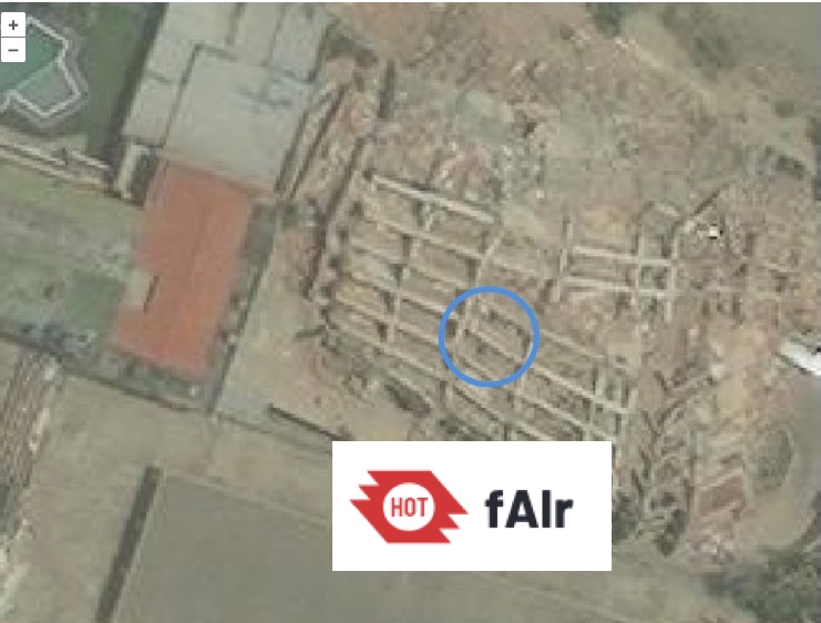
This dataset validates AI generated damage assessment data from the HOTOSM fAIr as part of disaster mapping response to the magnitude 7.5 Earthquake that struck Venezuela in June 2026, Glide: EQ-2026-000093-VEN.
On Wednesday, June 24, 2026, Venezuela was struck by two of the most powerful earthquakes the country has seen in over a century. The back-to-back tremors caused widespread destruction, particularly in the capital and along the northern coast. Both earthquakes caused widespread damage across the country, particularly in La Guaira and the capital, Caracas.
0
km2
0
Contributors
Project Completion
0% completed
Download the data
Below you'll find the data downloads for this MapSwipe project, including a GeoJSON file that can be imported into the HOT Tasking Manager for more detailed mapping of the area. If you need more information or if you have a special request related to MapSwipe data get in contact with the team at the Heidelberg Institute for Geoinformation Technology
Area of Interest
This dataset contains information on the project region.
GEOJSON
0.7 kB
Our license
This project is part of the OpenStreetMap community. The goal is high-quality geographical data, freely accessible and available to everyone. OSM’s reciprocal license protects the data from being appropriated by services that do not share back to OSM.
MapSwipe is released under a "liberal" non-reciprocal license (Creative Commons Attribution). Whenever you want to use the data, just make sure to credit the MapSwipe contributors.
