Find Features - Mapping mobile homes - Arizona, USA (11) Arizona State University
Find Features
Finished
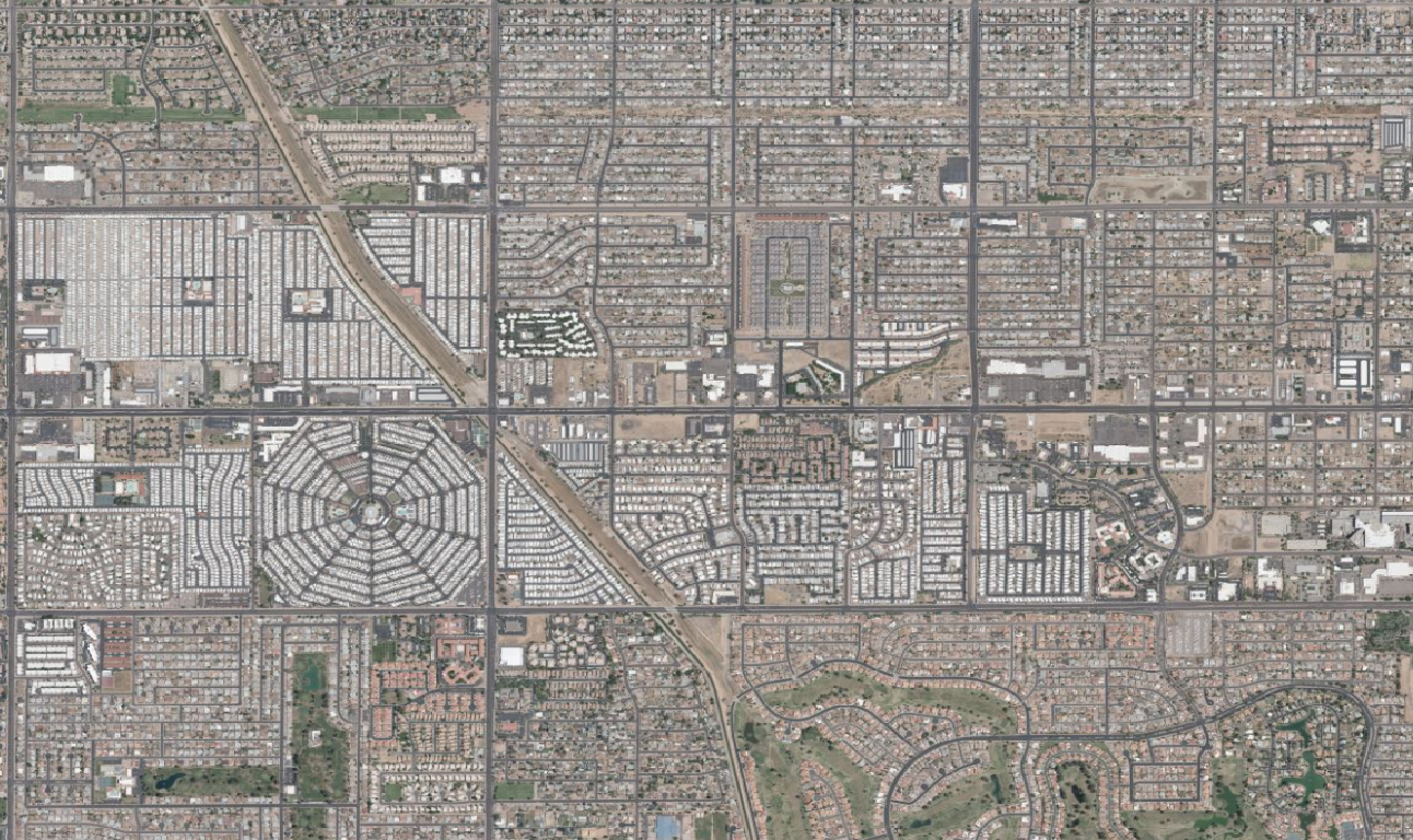
Arizona, USA
Arizona State University
Aug 3, 2022
Project overview
**The mapping** \n\n\n Help us look for "mobile homes" including both manufactured homes and recreational vehicle (RV). Please take the tutorial to learn how to identify these features. \n\n\n **The data** \n\n\n Data will be used by researchers at Arizona State University and partners like AAMHO, the City of Phoenix and SRP to design solutions for heat resilience among mobile home owners across the state. People who live in this type of housing are 6 times more likely to suffer heat related deaths. We will better understand the nature and extent of the problem and identify precise cost and locations of where to activate support, energy innovations, and housing weatherization in order to prevent hundreds of fatalities each year.
4897
km2
778
Contributors
Project Completion
99% completed
Last updated: Oct 13, 2025
Download the data
Below you'll find the data downloads for this MapSwipe project, including a GeoJSON file that can be imported into the HOT Tasking Manager for more detailed mapping of the area. If you need more information or if you have a special request related to MapSwipe data get in contact with the team at the Heidelberg Institute for Geoinformation Technology
Aggregated Results
Aggregated Results. This gives you the unfiltered MapSwipe results aggregated on the task level. This is most suited if you want to apply some custom data processing with the MapSwipe data, e.g. select only specific tasks. Check our documentation for more details. (Note that you need to unzip this .gz file before you can use it.)
GZIP
10.1 MB
Aggregated Results (with Geometry)
Aggregated Results. This gives you the unfiltered MapSwipe results aggregated on the task level. This is most suited if you want to apply some custom data processing with the MapSwipe data, e.g. select only specific tasks. Check our documentation for more details. (Note that you need to unzip this .gz file before you can use it.)
GZIP
10.4 MB
Groups
Groups. (Note that you need to unzip this .gz file before you can use it.)
GZIP
18.7 kB
History
History
CSV
2 kB
Results
This gives you the unfiltered MapSwipe results. (Note that you need to unzip this .gz file before you can use it.)
GZIP
8.7 MB
Tasks
Tasks. (Note that you need to unzip this .gz file before you can use it.)
GZIP
8.2 MB
Users
This dataset contains information on the individual contributions per user. This tells you for instance the most active users of this project. (Note that you need to unzip this .gz file before you can use it.)
GZIP
35.5 kB
Area of Interest
This dataset contains information on the project region.
GEOJSON
0.7 kB
HOT Tasking Manager Geometries
This dataset contains shapes that are ready to use in the HOT Tasking Manager. Currently, the geometries consist of maximum 15 MapSwipe Tasks, where at least 35% of all users indicated the presence of a building by classifying as "yes" or "maybe"
GEOJSON
0.5 MB
Moderate to High Agreement Yes Maybe Geometries
This dataset contains all results where at least 35% of users submitted a "yes" or "maybe" classification. The output dataset depicts the union of all selected results.
GEOJSON
0.8 MB
Our license
This project is part of the OpenStreetMap community. The goal is high-quality geographical data, freely accessible and available to everyone. OSM’s reciprocal license protects the data from being appropriated by services that do not share back to OSM.
MapSwipe is released under a "liberal" non-reciprocal license (Creative Commons Attribution). Whenever you want to use the data, just make sure to credit the MapSwipe contributors.
