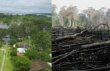
Find forest intervened and buildings (1)

Projekt áttekintése
Mapping in the Amazon takes on great importance when considering the vulnerability of the population and the imperative need to preserve its valuable natural resources. This region is home to communities exposed to various hazards, and detailed mapping provides essential information for planning mitigation and emergency response strategies. In addition, the Amazon, as a treasure trove of biodiversity, plays a crucial role in global climate stability. Accurate mapping facilitates the identification of critical areas, contributing to the implementation of adaptation, protection and sustainable planning measures to ensure the long-term survival of the region and its people.
Adatok letöltése
Összesített eredmények
Összesített eredmnyek (alakzatokkal)
HOT Tasking Manager feladatkezelő alakzatok
Moderálás „nagy egyetértés”, „igen” és „talán” alakzatokra
Csoportok
Előzmények
Eredmények
Feladatok
Felhasználók
Érintett terület
Licenc
Ez a projekt az OpenStreetMap közösség része. A cél a kiváló minőségű, szabadon hozzáférhető és mindenki számára elérhető földrajzi adatok létrehozása. Az adatokat az OSM kölcsönös licenc védi attól, hogy olyan olyan szolgáltatások sajátítsák ki őket, amelyek nem osztják őket vissza az OSM felé.
A MapSwipe „liberális”, nem kölcsönös licenc (Creative Commons Attribution) alatt van kiadva. Ha szeretné felhasználni az adatokat, csupán arra figyeljen, hogy tüntesse fel a MapSwipe közreműködőit.
