Find - Buildings in Kudat Town, Sabah (1)
Projekt áttekintése
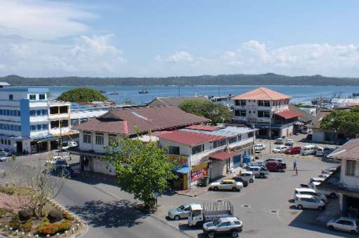
Kudat Town, located along Sabah's northern coast, is on the frontlines of climate change. The town faces growing threats from rising sea levels, coastal erosion, and extreme weather events, which put its communities and ecosystems at risk. Accurate and detailed mapping is essential for understanding these vulnerabilities and supporting climate action. This project leverages the power of community mapping to identify building footprints in Kudat using MapSwipe. By utilizing this user-friendly tool, volunteers can quickly and efficiently identify areas with buildings, providing a solid foundation for more detailed mapping efforts. Once the initial mapping is complete, buildings within the identified areas will be traced using the HOT Tasking Manager to improve data for climate resilience planning. The collected data will aid in disaster risk reduction, adaptive infrastructure design, and sustainable coastal management, empowering local communities to better prepare for and respond to climate challenges.
Adatok letöltése
Összesített eredmények
Összesített eredmnyek (alakzatokkal)
HOT Tasking Manager feladatkezelő alakzatok
Moderálás „nagy egyetértés”, „igen” és „talán” alakzatokra
Csoportok
Előzmények
Eredmények
Feladatok
Felhasználók
Érintett terület
Licenc
Ez a projekt az OpenStreetMap közösség része. A cél a kiváló minőségű, szabadon hozzáférhető és mindenki számára elérhető földrajzi adatok létrehozása. Az adatokat az OSM kölcsönös licenc védi attól, hogy olyan olyan szolgáltatások sajátítsák ki őket, amelyek nem osztják őket vissza az OSM felé.
A MapSwipe „liberális”, nem kölcsönös licenc (Creative Commons Attribution) alatt van kiadva. Ha szeretné felhasználni az adatokat, csupán arra figyeljen, hogy tüntesse fel a MapSwipe közreműködőit.