Find - Buildings in Chókwè District South (5)
Projekt áttekintése
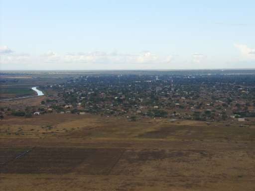
Please look for buildings. Mozambique ranks among the top ten countries most vulnerable to climate change, facing increasingly frequent and severe disasters that displace thousands of people. For instance, Cyclone Filipo in March 2024 displaced 48,000 individuals. The World Bank warns that without proactive adaptation measures, an additional 1.6 million people could fall into poverty by 2050. The country’s vulnerability is driven by its extensive coastline and nine major river basins, making it highly susceptible to climate-related disasters. In this challenging context, anticipatory action is crucial to safeguarding both populations and economic assets. Disaster management efforts in Mozambique are led by the Instituto Nacional de Gestão e Redução do Risco de Desastres (INGD), which operates through regional offices and community-based disaster risk reduction committees. These efforts focus on preparedness, early warning systems, and coordinated response initiatives.
To enhance disaster resilience, the Humanitarian OpenStreetMap Team (HOT), the Fundação para o Desenvolvimento da Comunidade (FDC), INGD, and INGD's National Center for Emergency Operations (CENOE) have joined forces on the "Mapping Populations and Services in Rural Mozambique" project. This initiative aims to revolutionize disaster preparedness by integrating modern technology with the invaluable local knowledge of the communities most affected by climate change. Through participatory mapping, the project actively involves communities in data collection and risk assessment, empowering them to play a pivotal role in shaping disaster response strategies. By recognizing the importance of local insights and ensuring community engagement, the project strengthens resilience and enhances the effectiveness of disaster preparedness efforts in Mozambique.
Adatok letöltése
Összesített eredmények
Összesített eredmnyek (alakzatokkal)
HOT Tasking Manager feladatkezelő alakzatok
Moderálás „nagy egyetértés”, „igen” és „talán” alakzatokra
Csoportok
Előzmények
Eredmények
Feladatok
Felhasználók
Érintett terület
Licenc
Ez a projekt az OpenStreetMap közösség része. A cél a kiváló minőségű, szabadon hozzáférhető és mindenki számára elérhető földrajzi adatok létrehozása. Az adatokat az OSM kölcsönös licenc védi attól, hogy olyan olyan szolgáltatások sajátítsák ki őket, amelyek nem osztják őket vissza az OSM felé.
A MapSwipe „liberális”, nem kölcsönös licenc (Creative Commons Attribution) alatt van kiadva. Ha szeretné felhasználni az adatokat, csupán arra figyeljen, hogy tüntesse fel a MapSwipe közreműködőit.