Find Features - Find Features - Buildings - Mangochi, Malawi (1) Médecins Sans Frontières
Find Features
Finished
Mangochi, Malawi
Médecins Sans Frontières
Oct 22, 2025
Project overview
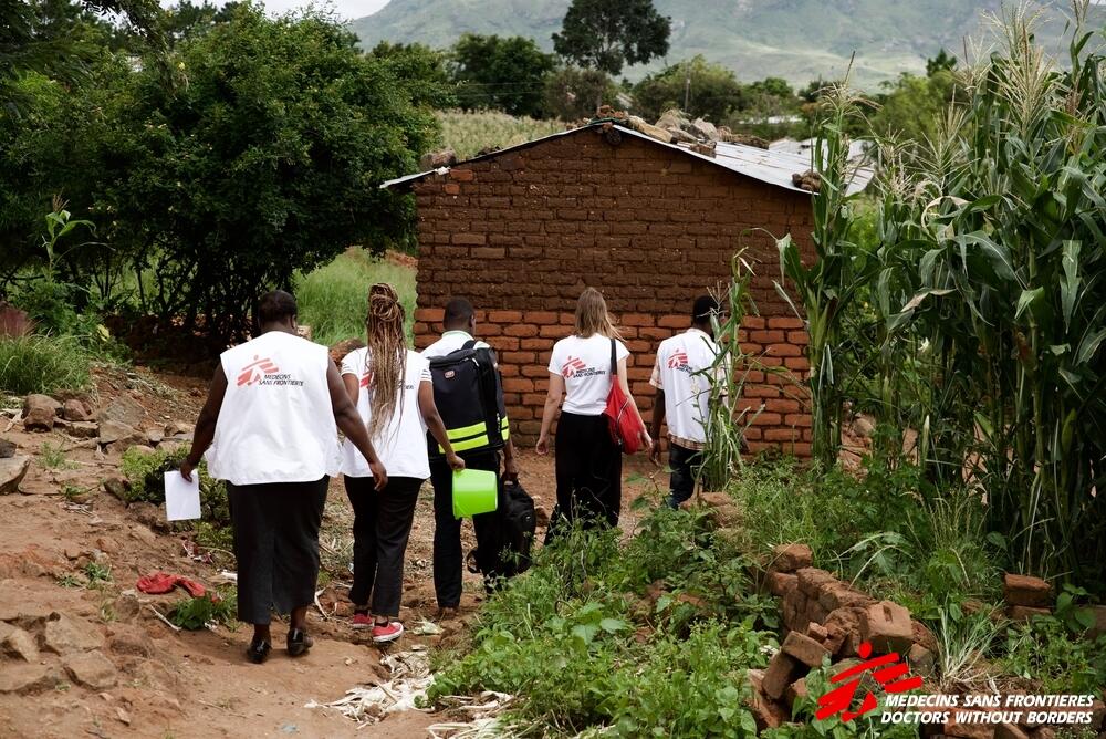
In the past years, Doctors Without Borders/Médecins Sans Frontières (MSF) worked alongside the Ministry of Health in Malawi to respond to several emergencies. After tropical storm Ana hit Malawi in January 2022, the country experienced a widespread cholera outbreak. Please help us to map the Mangochi district to support MSF’s activities associated with the cholera outbreak.
1648
km2
0
Contributors
Project Completion
0% completed
Download the data
Below you'll find the data downloads for this MapSwipe project, including a GeoJSON file that can be imported into the HOT Tasking Manager for more detailed mapping of the area. If you need more information or if you have a special request related to MapSwipe data get in contact with the team at the Heidelberg Institute for Geoinformation Technology
Our license
This project is part of the OpenStreetMap community. The goal is high-quality geographical data, freely accessible and available to everyone. OSM’s reciprocal license protects the data from being appropriated by services that do not share back to OSM.
MapSwipe is released under a "liberal" non-reciprocal license (Creative Commons Attribution). Whenever you want to use the data, just make sure to credit the MapSwipe contributors.