Find Features - Find Buildings_Allahaba_Koraon - India (17) HOT
Find Features
Active
India
HOT
Mar 28, 2026
Project overview
This MapSwipe project aims to identify building footprints in the Allahabad (Prayagraj) district, including the Koraon area, which experienced severe flooding in 2025 after heavy monsoon rains caused the Ganga and Yamuna rivers to rise above danger levels. Many villages, homes, and agricultural areas were affected, highlighting the vulnerability of the region to flooding.
By mapping buildings in these areas, volunteers will help create essential baseline data on settlements and infrastructure. This information will support climate resilience efforts by improving preparedness and enabling faster damage assessments and more effective response if similar floods occur again in the future
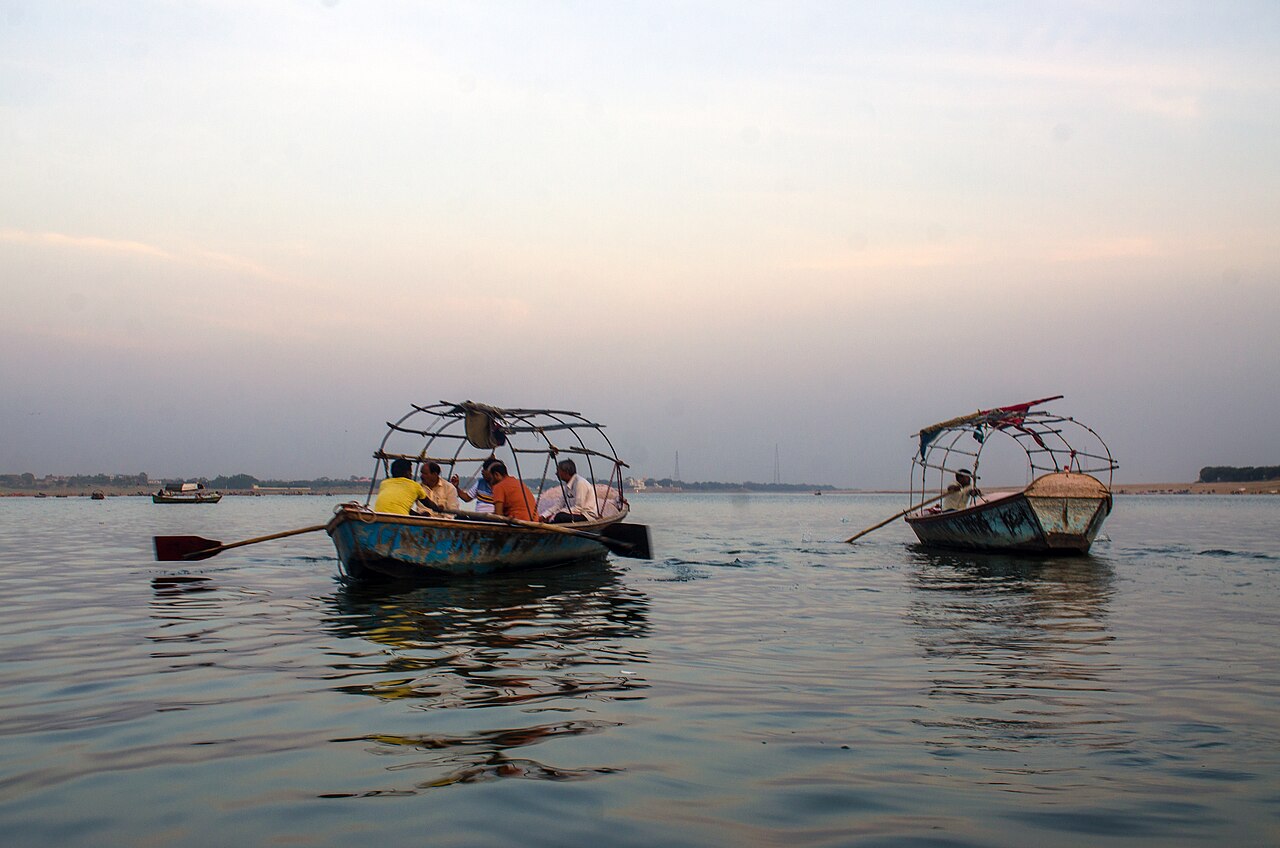
Image by [Rangan Datta ](https://commons.wikimedia.org/wiki/File:Prayagraj_Sangam_2.jpg)Wiki under Creative Commons Attribution-Share Alike 4.0
69
km2
18
Contributors
Project Completion
5% completed
Last updated: Mar 29, 2026
Download the data
Below you'll find the data downloads for this MapSwipe project, including a GeoJSON file that can be imported into the HOT Tasking Manager for more detailed mapping of the area. If you need more information or if you have a special request related to MapSwipe data get in contact with the team at the Heidelberg Institute for Geoinformation Technology
Aggregated Results
Aggregated Results. This gives you the unfiltered MapSwipe results aggregated on the task level. This is most suited if you want to apply some custom data processing with the MapSwipe data, e.g. select only specific tasks. Check our documentation for more details. (Note that you need to unzip this .gz file before you can use it.)
GZIP
0.1 MB
Aggregated Results (with Geometry)
Aggregated Results. This gives you the unfiltered MapSwipe results aggregated on the task level. This is most suited if you want to apply some custom data processing with the MapSwipe data, e.g. select only specific tasks. Check our documentation for more details. (Note that you need to unzip this .gz file before you can use it.)
GZIP
0.1 MB
Groups
Groups. (Note that you need to unzip this .gz file before you can use it.)
GZIP
1.7 kB
History
History
CSV
0.4 kB
Results
This gives you the unfiltered MapSwipe results. (Note that you need to unzip this .gz file before you can use it.)
GZIP
82.4 kB
Tasks
Tasks. (Note that you need to unzip this .gz file before you can use it.)
GZIP
0.1 MB
Users
This dataset contains information on the individual contributions per user. This tells you for instance the most active users of this project. (Note that you need to unzip this .gz file before you can use it.)
GZIP
1 kB
Area of Interest
This dataset contains information on the project region.
GEOJSON
0.7 kB
HOT Tasking Manager Geometries
This dataset contains shapes that are ready to use in the HOT Tasking Manager. Currently, the geometries consist of maximum 15 MapSwipe Tasks, where at least 35% of all users indicated the presence of a building by classifying as "yes" or "maybe"
GEOJSON
35.4 kB
Moderate to High Agreement Yes Maybe Geometries
This dataset contains all results where at least 35% of users submitted a "yes" or "maybe" classification. The output dataset depicts the union of all selected results.
GEOJSON
70.7 kB
Our license
This project is part of the OpenStreetMap community. The goal is high-quality geographical data, freely accessible and available to everyone. OSM’s reciprocal license protects the data from being appropriated by services that do not share back to OSM.
MapSwipe is released under a "liberal" non-reciprocal license (Creative Commons Attribution). Whenever you want to use the data, just make sure to credit the MapSwipe contributors.
