
Locate Objects - falrSwipe- Locate trees and green spaces - Nhlangano, Eswatini (1) HOT
Locate Objects
Active
Nhlangano, Eswatini
HOT
Nov 4, 2026
Project overview
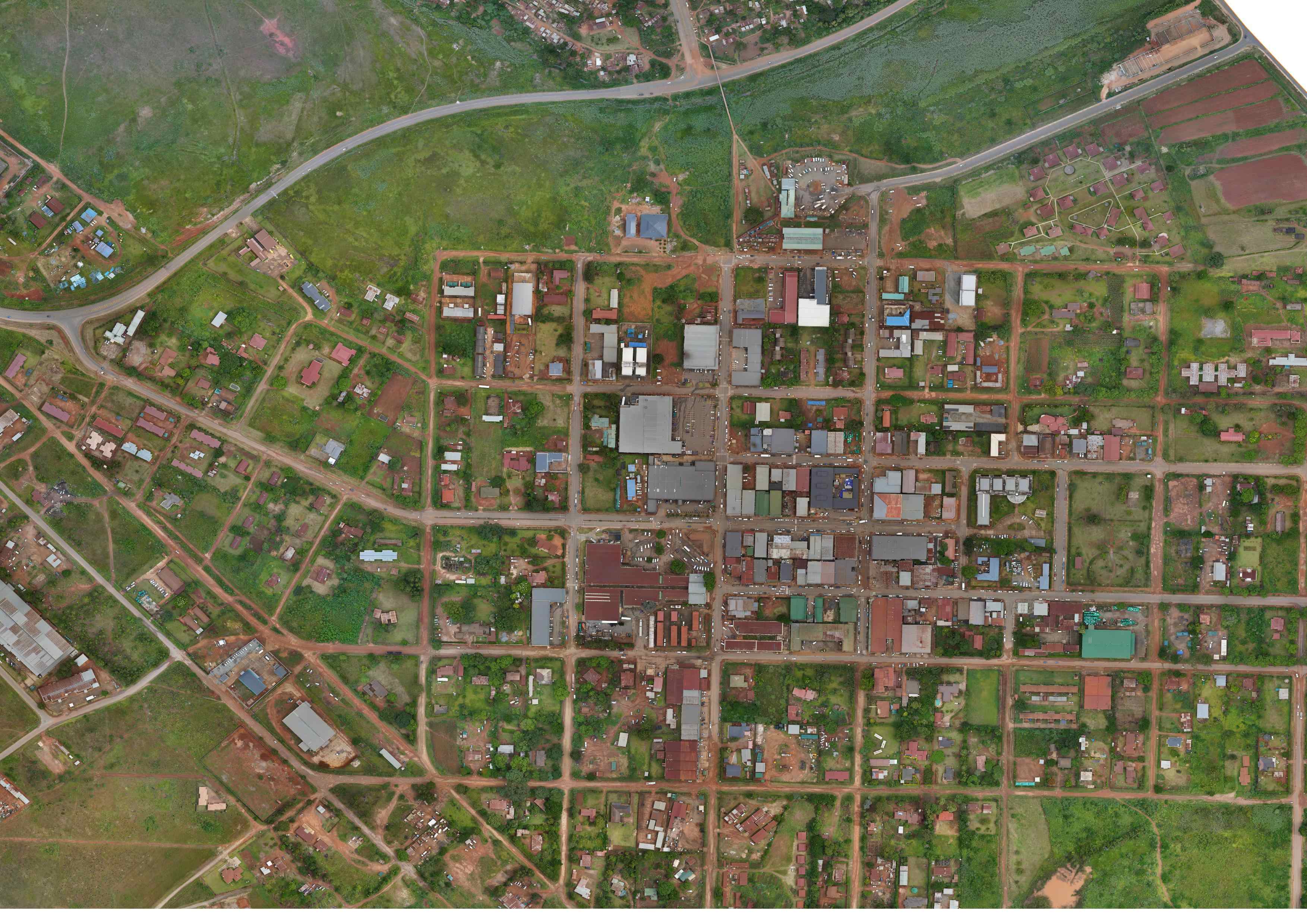
The Nhlangano Green Spaces Mapping Project aims to identify, map and document green spaces within Nhlangano through community led open mapping using the MapSwipe platform and OpenStreetMap.
The project seeks to improve the availability of spatial information on green spaces within the town, recognizing their importance in environmental conservation, urban sustainability and climate resilience. As urban areas expand, green spaces are increasingly important for maintaining ecological balance, supporting biodiversity, reducing urban heat, managing stormwater runoff and providing recreational spaces for communities.
Through the fAIrSwipe initiative, volunteers will participate in identifying green spaces from available satellite imagery and contributing to the mapping process. The mapped information will help establish a better understanding of the distribution of green spaces across Nhlangano and highlight areas where green infrastructure may need protection, improvement or further development.
The project will contribute to strengthening local geospatial data availability while promoting youth participation, community engagement and the use of open mapping tools in addressing environmental and urban development challenges.
11
km2
25
Contributors
Project Completion
84% completed
Last updated: Nov 5, 2026
Download the data
Below you'll find the data downloads for this MapSwipe project, including a GeoJSON file that can be imported into the HOT Tasking Manager for more detailed mapping of the area. If you need more information or if you have a special request related to MapSwipe data get in contact with the team at the Heidelberg Institute for Geoinformation Technology
Aggregated Results
Aggregated Results. This gives you the unfiltered MapSwipe results aggregated on the task level. This is most suited if you want to apply some custom data processing with the MapSwipe data, e.g. select only specific tasks. Check our documentation for more details. (Note that you need to unzip this .gz file before you can use it.)
Aggregated Results (with Geometry)
Aggregated Results. This gives you the unfiltered MapSwipe results aggregated on the task level. This is most suited if you want to apply some custom data processing with the MapSwipe data, e.g. select only specific tasks. Check our documentation for more details. (Note that you need to unzip this .gz file before you can use it.)
Our license
This project is part of the OpenStreetMap community. The goal is high-quality geographical data, freely accessible and available to everyone. OSM’s reciprocal license protects the data from being appropriated by services that do not share back to OSM.
MapSwipe is released under a "liberal" non-reciprocal license (Creative Commons Attribution). Whenever you want to use the data, just make sure to credit the MapSwipe contributors.
