OSM Building Validation (1)

Visão geral do projeto
New project type!
Welcome to a new type of project to validate building footprints. You must be on the newest app version (2.1.8). Please use the tutorial to learn how to contribute.
Project description
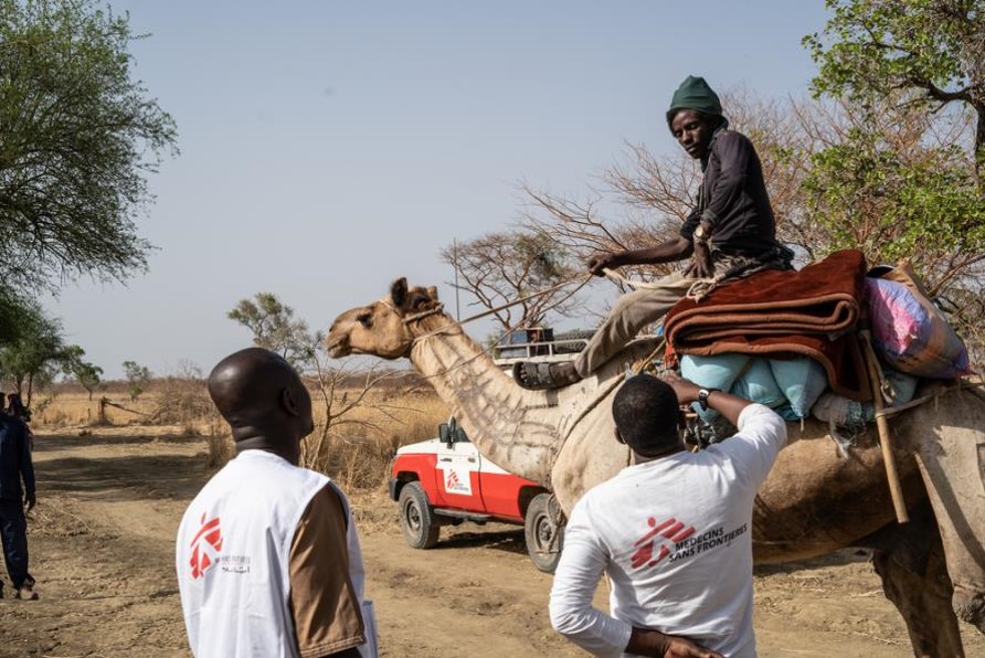
MSF needs better mapping in the Chad regions of Koumra and Goundi to improve their response to a recent yellow fever outbreak, and for other ongoing and future public health operations in the area. Help us understand the quality of the OSM building data in the area. The results will be used to help evaluate if the area should be re-mapped.
Descarregar os dados
Resultados agregados
Resultados agregados (com geometria)
Grupos
História
Resultados
Tarefas
Utilizadores
Área de interesse
A nossa licença
Este projeto faz parte da comunidade OpenStreetMap. O objetivo é obter dados geográficos de alta qualidade, de acesso livre e disponíveis para todos. A licença recíproca do OSM protege os dados de serem apropriados por serviços que não partilham com o OSM.
O MapSwipe é disponibilizado ao abrigo de uma licença "liberal" não recíproca (Creative Commons Atribuição). Sempre que quiser utilizar os dados, certifique-se de que atribui os créditos aos contribuidores do MapSwipe.
