Hasiru Aqua Small Pond Mapping (1)

Visão geral do projeto
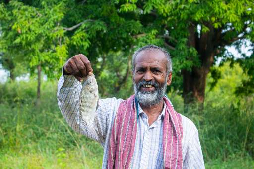
The government of Karnataka has provided subsidies to farmers to build ponds for rainwater harvesting. Many farmers who have built these ponds use it for additional purpose like inland fish farming. Due to being new to fish farming the yield is not good. Having a better yield would mean better economic conditions for these farmers and also better nutrition with the increased protein intake in their diet. Hasiru Aqua is a aquaculture startup helping these farmers by providing them with services like water health monitoring and selling them fish-lings and feeds. They have helped few of these farmers to improve the fish farming yield. In order for Hasiru Aqua to support these farmers they need to know where the ponds are so that they can reach out to farmers in these areas.
Descarregar os dados
Resultados agregados
Resultados agregados (com geometria)
Geometrias HOT Tasking Manager
Moderado a Elevado Acordo Sim Talvez Geometrias
Grupos
História
Resultados
Tarefas
Utilizadores
Área de interesse
A nossa licença
Este projeto faz parte da comunidade OpenStreetMap. O objetivo é obter dados geográficos de alta qualidade, de acesso livre e disponíveis para todos. A licença recíproca do OSM protege os dados de serem apropriados por serviços que não partilham com o OSM.
O MapSwipe é disponibilizado ao abrigo de uma licença "liberal" não recíproca (Creative Commons Atribuição). Sempre que quiser utilizar os dados, certifique-se de que atribui os créditos aos contribuidores do MapSwipe.
