Find - Buildings in Kudat Town, Sabah (1)
Visão geral do projeto
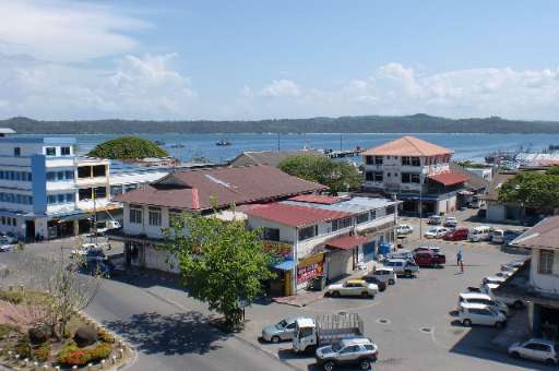
Kudat Town, located along Sabah's northern coast, is on the frontlines of climate change. The town faces growing threats from rising sea levels, coastal erosion, and extreme weather events, which put its communities and ecosystems at risk. Accurate and detailed mapping is essential for understanding these vulnerabilities and supporting climate action. This project leverages the power of community mapping to identify building footprints in Kudat using MapSwipe. By utilizing this user-friendly tool, volunteers can quickly and efficiently identify areas with buildings, providing a solid foundation for more detailed mapping efforts. Once the initial mapping is complete, buildings within the identified areas will be traced using the HOT Tasking Manager to improve data for climate resilience planning. The collected data will aid in disaster risk reduction, adaptive infrastructure design, and sustainable coastal management, empowering local communities to better prepare for and respond to climate challenges.
Descarregar os dados
Resultados agregados
Resultados agregados (com geometria)
Geometrias HOT Tasking Manager
Moderado a Elevado Acordo Sim Talvez Geometrias
Grupos
História
Resultados
Tarefas
Utilizadores
Área de interesse
A nossa licença
Este projeto faz parte da comunidade OpenStreetMap. O objetivo é obter dados geográficos de alta qualidade, de acesso livre e disponíveis para todos. A licença recíproca do OSM protege os dados de serem apropriados por serviços que não partilham com o OSM.
O MapSwipe é disponibilizado ao abrigo de uma licença "liberal" não recíproca (Creative Commons Atribuição). Sempre que quiser utilizar os dados, certifique-se de que atribui os créditos aos contribuidores do MapSwipe.