Find -Buildings in Gorgol (4)
Visão geral do projeto
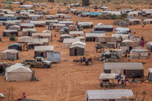
In the HeC region, home to over 471,000 people including 154,000 out-of-camp refugees, many households remain invisible due to extreme population dispersion (3.33 persons/km²). Using MapSwipe, we crowdsource the identification of buildings from satellite imagery, helping to locate isolated homes and villages. This early step enables faster, more targeted mapping, critical for humanitarian response in areas often overlooked due to limited existing data. The region faces growing humanitarian needs: 85% of refugee households are classified as vulnerable, while most lack shelter, sanitation, and access to food and water. Host communities also face severe shortages. MapSwipe helps us detect clusters of population and infrastructure in hard-to-reach areas, supporting equitable planning and ensuring services reach the people who need them most. This work also supports long-term planning. As climate shocks increase and new pressures, such as planned economic zones and refugee camp transformations, emerge, knowing where people live and what they can access is essential. MapSwipe helps lay the foundation for data-informed investments in resilience, infrastructure, and sustainable development
Descarregar os dados
Resultados agregados
Resultados agregados (com geometria)
Geometrias HOT Tasking Manager
Moderado a Elevado Acordo Sim Talvez Geometrias
Grupos
História
Resultados
Tarefas
Utilizadores
Área de interesse
A nossa licença
Este projeto faz parte da comunidade OpenStreetMap. O objetivo é obter dados geográficos de alta qualidade, de acesso livre e disponíveis para todos. A licença recíproca do OSM protege os dados de serem apropriados por serviços que não partilham com o OSM.
O MapSwipe é disponibilizado ao abrigo de uma licença "liberal" não recíproca (Creative Commons Atribuição). Sempre que quiser utilizar os dados, certifique-se de que atribui os créditos aos contribuidores do MapSwipe.