Investing in MapSwipe: Humanitarian technology, virtual volunteering, and maps for good
Data Everywhere
In today's technology-filled world, we have access to vast amounts of information at our fingertips. This includes geospatial data, which helps us understand places and the “where?” of things - a vitally important piece of successful humanitarian programs. It is important for getting from point A to point B as well as for coordination, understanding needs, tracking impact, identifying gaps, and a multitude of other concerns. For responsible use by humanitarians, this information must be assessed, refreshed, and validated as populations, infrastructure, and the surrounding environments experience the inevitable changes that occur as time, conflicts, and disasters unfold.
Inaccurate or incomplete geospatial data can hinder crucial research, impede efficient crisis response, and limit decision-making processes. Thankfully, there's a tool that harnesses the power of volunteer crowdsourcing and satellite imagery to address this challenge - the MapSwipe app.
What is MapSwipe?
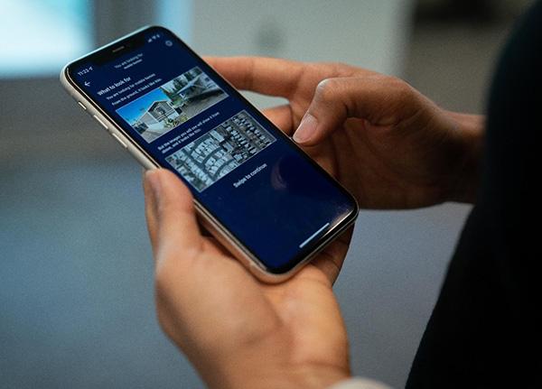
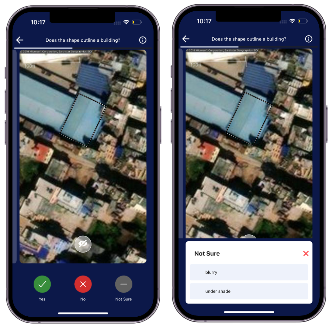
MapSwipe is a free open source mobile application available on iOS and Android that empowers anyone with a smartphone to make a meaningful impact contributing to global mapping efforts. MapSwipe crowdsources the review of satellite imagery to:
- Find - identify the locations of selected feature type(s) on the ground.
- Compare - check if there are changes across two images from different times.
- Validate - assess the accuracy of existing mapped data.
Launched in 2016, MapSwipe is a volunteer-driven and community-led project to support the Missing Maps initiative. Core partner organizations of MapSwipe are the American Red Cross, British Red Cross, Canadian Red Cross, HeiGIT, Humanitarian OpenStreetMap Team (HOT), and Médecins Sans Frontières (MSF), but any organization or mapping community can request to use MapSwipe to help with their activities.
The MapSwipe app is open source, which means that its code is made public under a permissible license approved by the Open Source Initiative. All the code components of the project can be found on GitHub. This encourages innovation; it makes it easier to collaborate on improving the app and allows organizations the option of modifying or building on top of the app for their custom needs.
Psst! What about Artificial Intelligence (AI) and Machine Learning (ML)?
Glad you asked! While artificial intelligence and machine learning hold great promise for accelerating mapping efforts, we have not yet reached the point where human insight and oversight is no longer needed. There is still a significant need for human judgment and discretion when validating map data, assessing quality, and ensuring responsible data practices. As AI and ML progress, our goal is to augment human abilities rather than replace them entirely.

MapSwipe Data Outputs
MapSwipe provides volunteers with satellite imagery of specific areas of interest from around the world. Depending on a project's objectives, volunteers are asked to identify and locate various features on the ground, detect changes in environments or structures, or validate the accuracy of existing mapped data. Each completed project creates data that can be used for humanitarian mapping or research purposes.
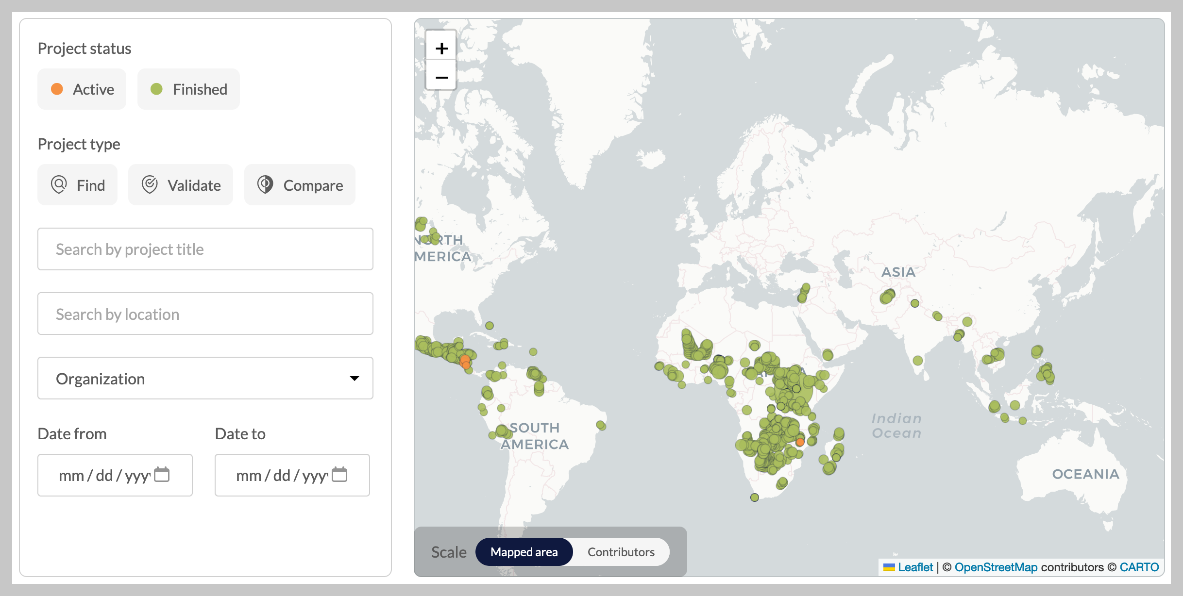
All MapSwipe data outputs are open and available. They can be searched and downloaded from MapSwipe’s data page.
MapSwipe improvements supported by the American Red Cross
There are many current opportunities, and potential future opportunities, with MapSwipe. Tapping into the generosity of digital volunteers the app generates crowdsourced data that is valuable for disaster preparedness, infrastructure planning, pandemic tracking, humanitarian aid distribution, academic research, and more. The opportunities are as numerous as social good organizations that use geospatial data - which is hopefully nearly all of them!
To bolster and expand that impact, the American Red Cross has supported upgrades to the app. These efforts have focused on improving volunteer experience as well as improving the adaptability of MapSwipe projects for organizational data end-users. So far in 2023, we’ve completed three key investments.
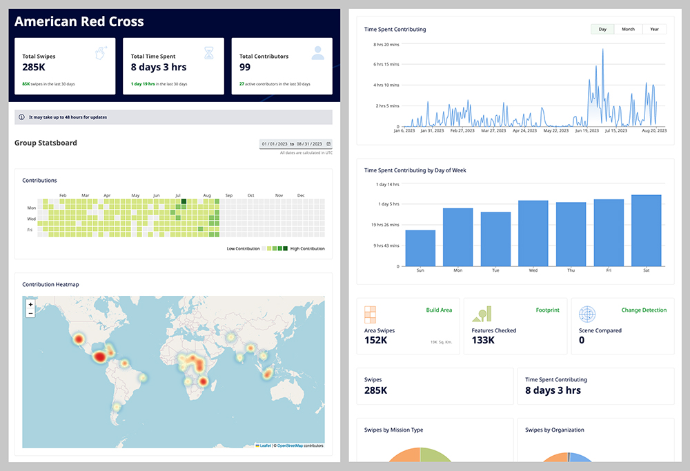
Individual and group contribution stats
As a community-driven platform that crowdsources results, MapSwipe relies on the dedication of its volunteers. MapSwipe volunteers and partners can now easily track their contribution stats, as well as see how their efforts fit into the bigger picture on the new Community page launched earlier this year. Details such as the number of tasks completed, number of organizations supported, and other impact metrics are refreshed daily. In addition, a new functionality allows groups of volunteers to aggregate their collective contributions to app projects.
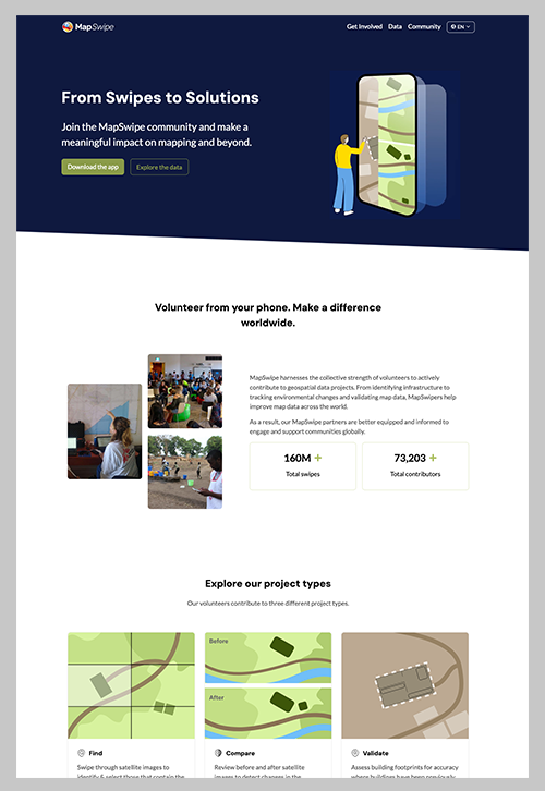
MapSwipe website refresh
The MapSwipe website has been given a modern, visually-appealing makeover. The new design makes it easier for new volunteers to learn about the app and improved navigation and intuitive layouts help visitors find information relevant to them whether they want to get involved at an individual or community level, partner as an organization with MapSwipe, or access all app data outputs.
Enhanced customization of projects
Behind the scenes, project creators can add more information into project tutorials, better supporting volunteers in their learning journey. Additionally, the Validate project type now has configurable answer options and sub-options, allowing more detailed quality assessment of mapped areas. These increases in flexibility expand the types of mapping MapSwipe supports.
How you can get involved!
Getting involved with MapSwipe is simple and rewarding. Here's how you can contribute.
- Download the app and get started: MapSwipe is available for both Android and iOS devices. Simply download it from your respective app store and create an account to get started! Once you open the app, pick a project, take the tutorial, and start MapSwiping!
- Host a MapSwipe event: Communities and organizations are encouraged to host MapSwipe events and help complete projects on the app. Visit the Get Involved page to learn more about how community, academic, non-profit groups, or corporates can make an impact!
- Volunteer: Are you fluent in multiple languages? Help us translate the app and website. Are you a developer? Help support app development and contribute your expertise.
- Partner with MapSwipe: Are you a humanitarian or nonprofit organization interested in running a project on MapSwipe to generate geospatial data? Share your idea with us and our team will follow up to determine the right solution.
Our ongoing commitment
Our recent investments are another component of an ongoing commitment to open tools and open data. MapSwipe provides a valuable link between organizations that need geospatial data for good and human volunteers worldwide that can spend time virtually to create that geospatial data. We are confident in the benefits of building MapSwipe capabilities, easing and expanding organizational adoption, and empowering the digital volunteers who are the heart of the platform. There is still so much more MapSwiping to be done. The need for accurate geospatial data is immense, but so is the collective power of everyday people volunteering their time and skills for a positive cause. By participating in the crowdsourced process, volunteers become an essential part of efforts supporting critical research, crisis response, and humanitarian decision-making. The American Red Cross invites you to join us on this journey - let's keep MapSwiping!
