From Swipes to Solutions
Join the MapSwipe community and make a meaningful impact on mapping and beyond.
Volunteer from your work, home, or on the go and make a difference worldwide.
MapSwipe harnesses the collective strength of volunteers to actively contribute to geospatial data projects. From identifying infrastructure to tracking environmental changes and validating map data, MapSwipers help improve map data across the world.
As a result, our MapSwipe partners are better equipped and informed to engage and support communities globally.
217M
Total swipes
136,530
Total contributors
Explore our project types
Our volunteers contribute to several different project types.

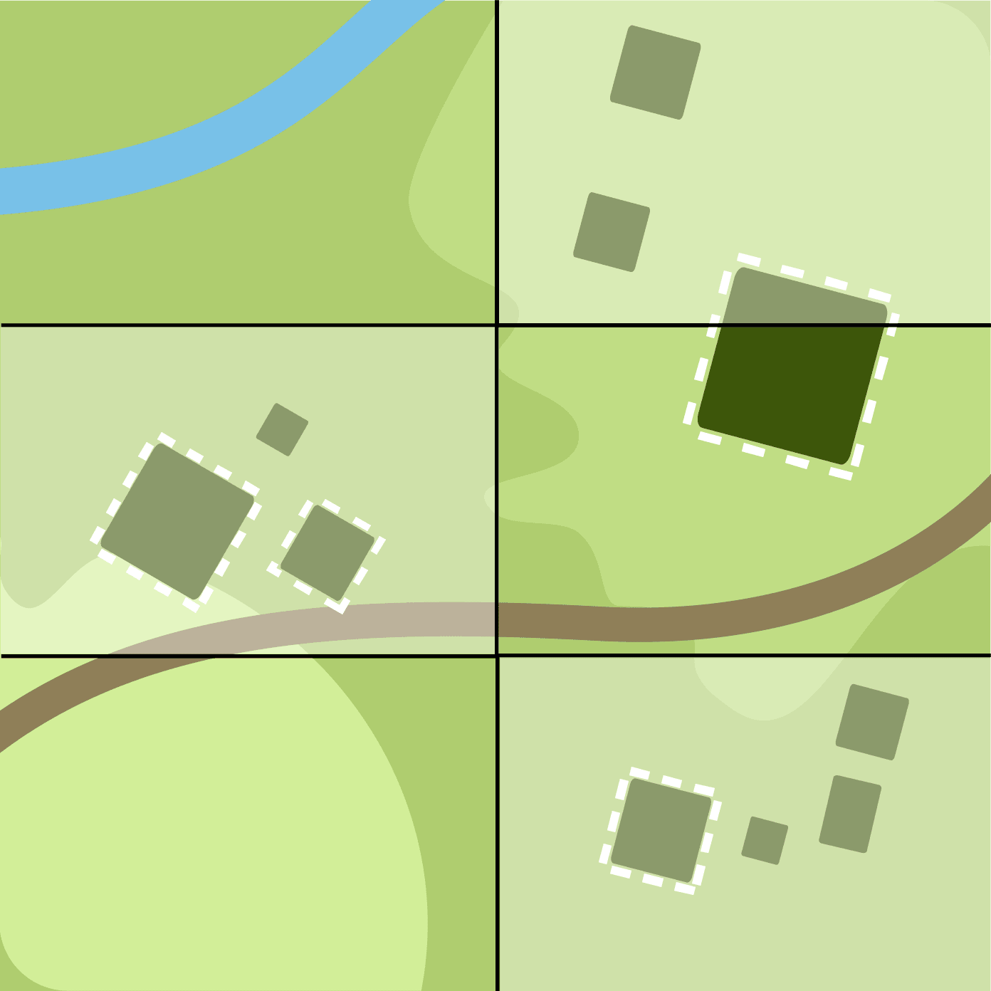
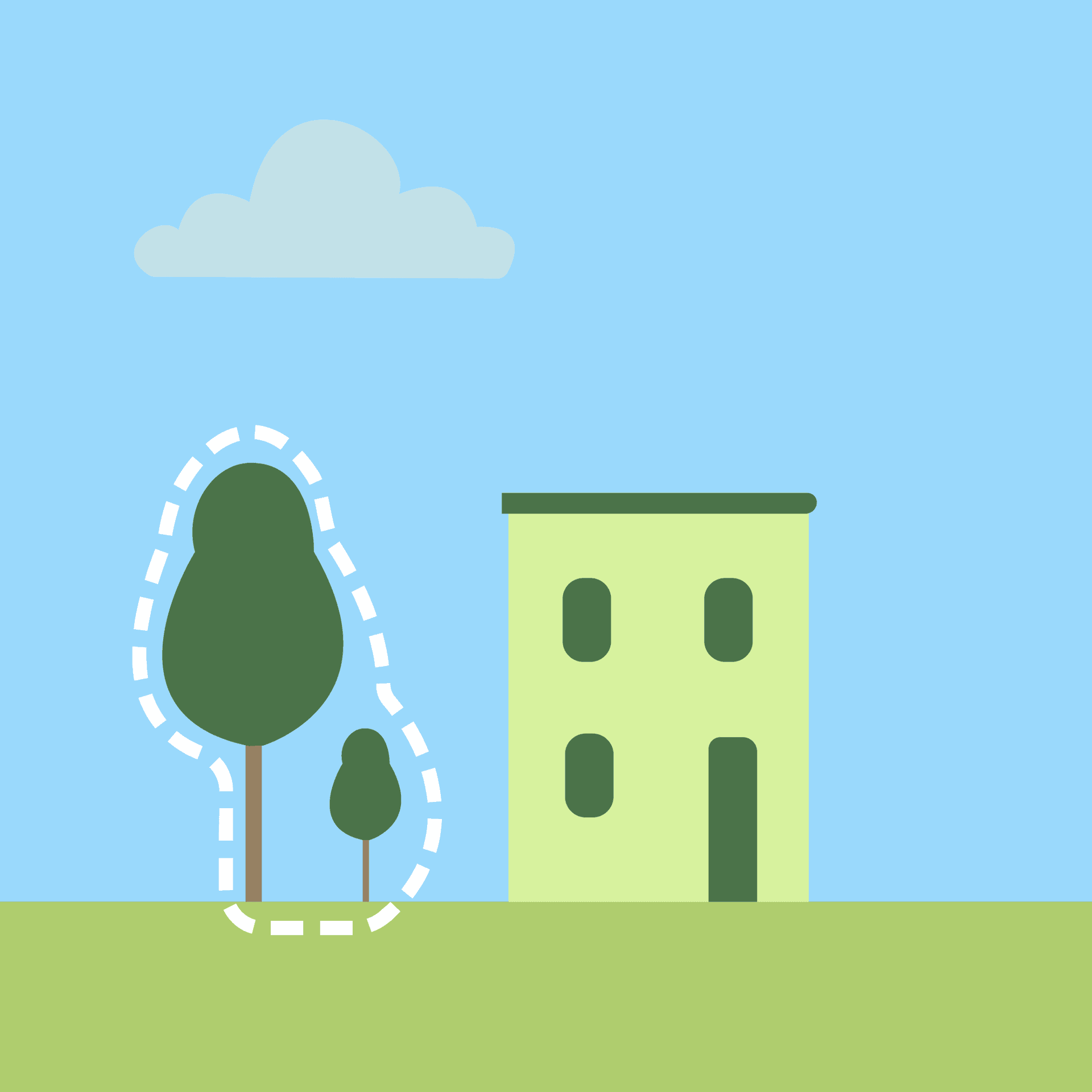
Find Features
Swipe through satellite images to identify & select those that contain the requested features such as buildings, roadways, waterways and more.


Compare Dates
Review before and after satellite images to detect changes in the environment that help inform damage assessment, climate change, or inaccurate data.

Validate Footprints
Assess building footprints for accuracy where buildings have been previously traced by remote mappers or through AI to identify where remapping is needed.
Check Completeness
Check an overlay layer (e.g. mapped buildings) against aerial imagery to identify areas that are not completely mapped.
Assess Image
Review photographs to identify the presence of a feature or validate detections as part of mapping workflows and to improve machine learning tools.

View Streets
Explore ground-level photos to find relevant features and capture more detailed information on communities.

Locate Objects
Mark the subgrid cells within satellite image tiles that contain requested features such as rooftops, solar panels, or trees, helping train machine learning models to localize features more accurately
Start MapSwiping!
From your internet browser or mobile phone, you can play a part in helping communities around the world, one swipe at a time.


Learn more about how individuals, groups, and organizations can contribute to the community.
Get involvedNews & updates

Reflecting on MapSwipe in 2025: A Year of Growth and What Comes Next
1/19/2026
MapSwipe had many successes in 2025 from new project types, to structural revamps. Nicole and Amar, from the MapSwipe Governance Team, get together to celebrate and discuss what's next.
Read more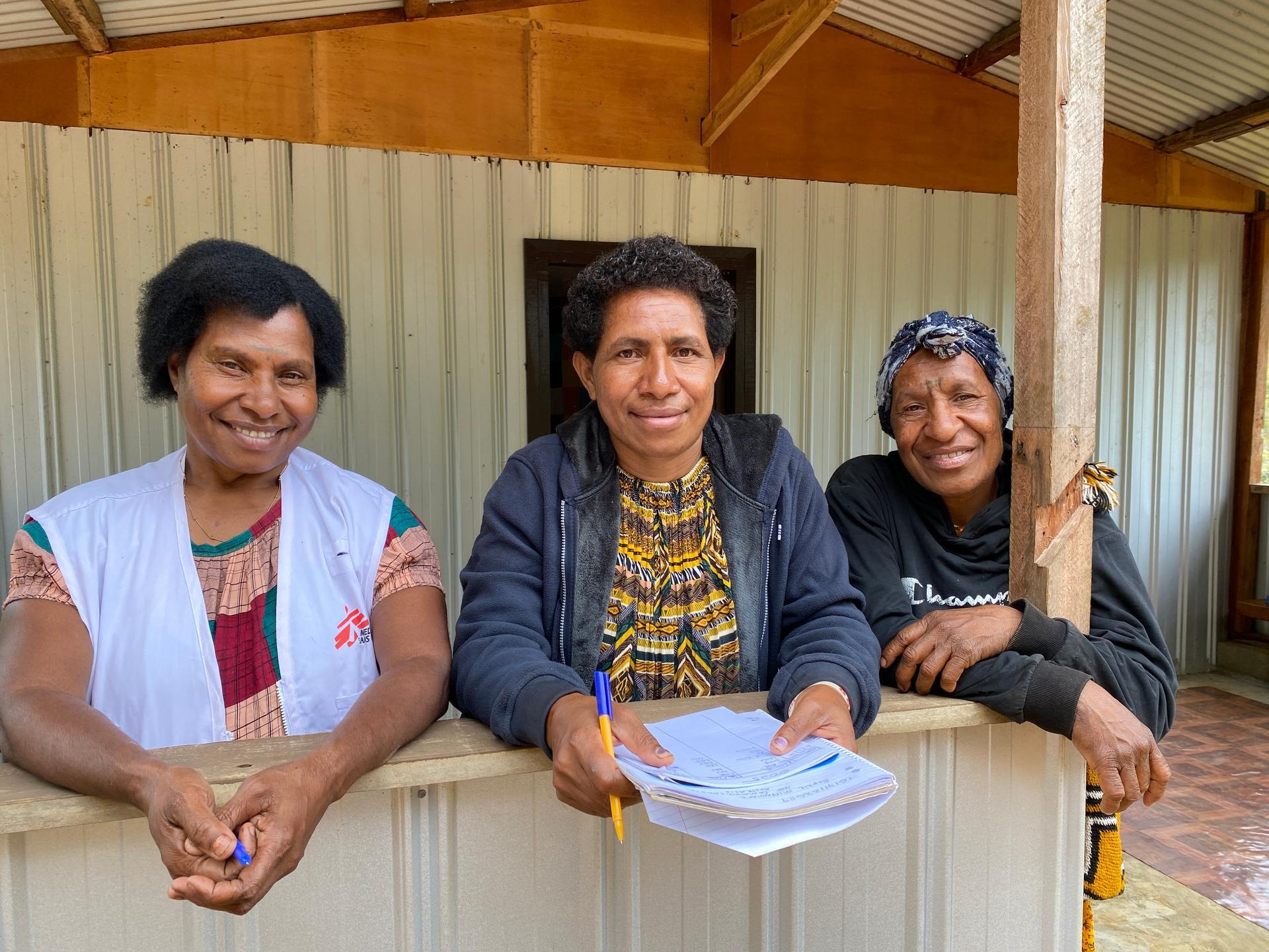
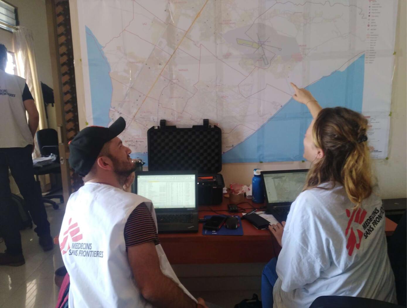
Swiping to find airstrips in Papua New Guinea
4/3/2025
What would you do in the middle of the jungle in Papua New Guinea if you needed medical care? Volunteers have identified airstrips Médecins Sans Frontières can use to get to hard-to-reach communities.
Read more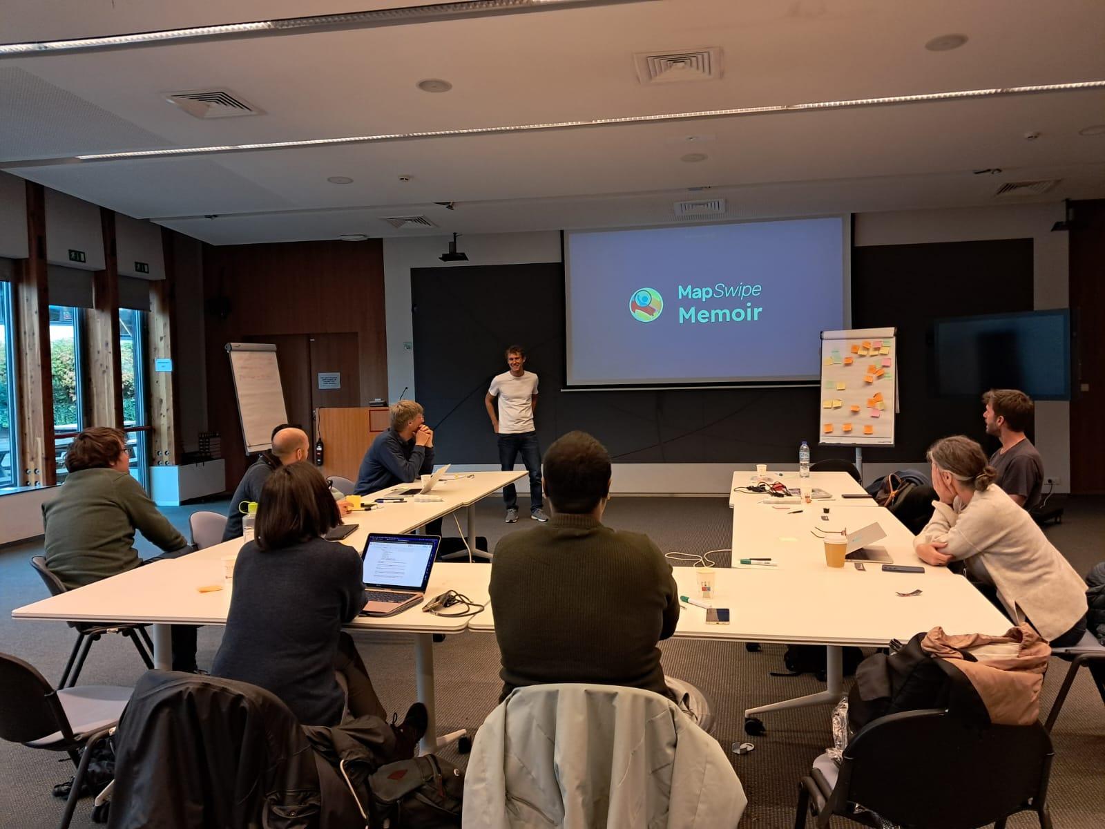
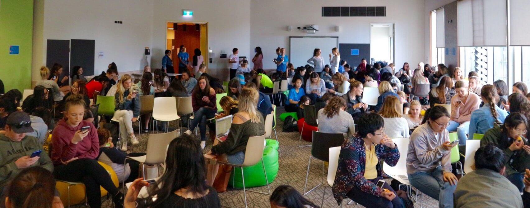
MapSwipe Belgium Meetup
2/20/2025
This article summarizes the key highlights of Mapswipe Belgium meetup 2024.
Read morePartners

MapSwipe is part of the Missing Maps Project and is managed by a volunteer-led team with support from these organizations.