Rohingya Crisis (1)

Compare
Finished
Kutupalong
Médecins Sans Frontières
Dec 21, 2019
Rohingya Crisis (1)

Project overview

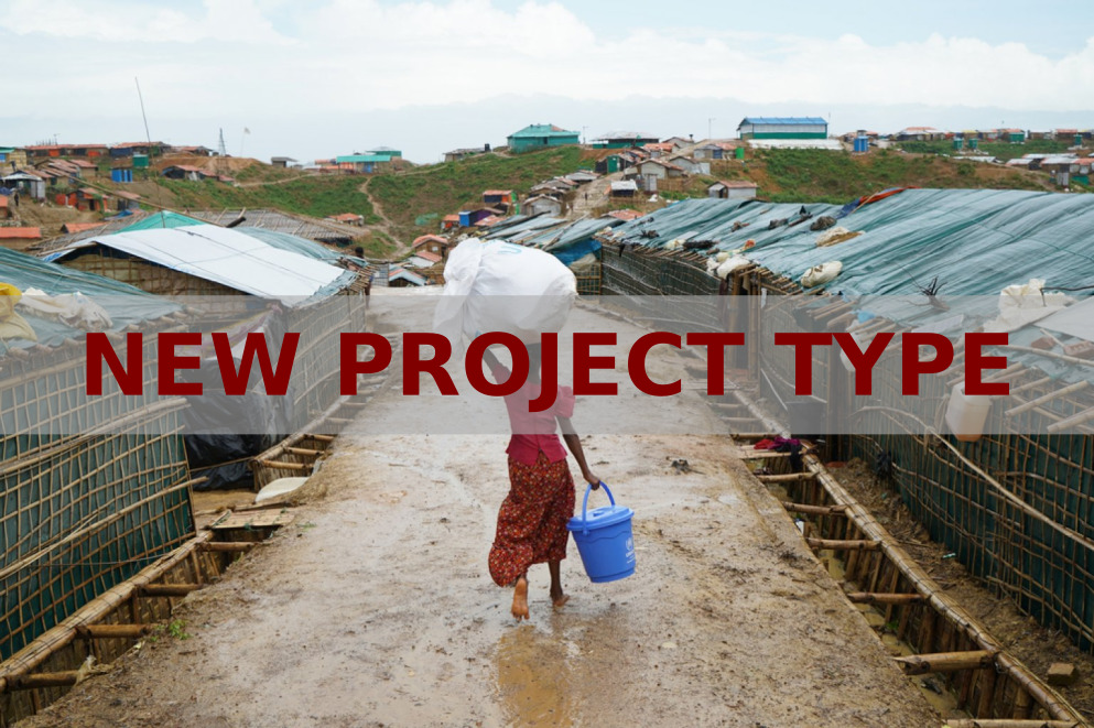
Feedback needed: New project type

Welcome to our new type of project to identify changes in locations over time. We're still working on everything but wanted to give you a sneak peak.

 BREAK

• Use the tutorial to learn how to contribute

• Complete some tasks

Use this form to tell us what you think.

 BREAK

Project description

Kutupalong Camp site experienced a very large and fast influx of Rohingya refugees between 2017 and 2019. Since the beginning of the influx, Médecins Sans Frontières has scaled up their community based surveillance to monitor diseases, respond to outbreaks of diphtheria, and has been responding to the massive water and sanitation needs. Understanding the growth of the camp is essential for preparedness activities as it helps to identify areas and people most at risk.

 BREAK

We want to test and show how MapSwipe could have helped in this situation. The results will be used to evaluate how the MapSwipe community can quickly identify changes in certain locations.

26
km2
599
Contributors
Project Completion
53% completed
020406080100Dec 21, 19Dec 26, 19Dec 31, 19Jan 06, 20Jan 11, 20Jan 17, 20
Last updated: Jul 26, 2024, 12:10:20 AM

Download the data

Below you'll find the data downloads for this MapSwipe project, including a GeoJSON file that can be imported into the HOT Tasking Manager for more detailed mapping of the area. If you need more information or if you have a special request related to MapSwipe data get in contact with the team at the Heidelberg Institute for Geoinformation Technology
Aggregated Results
Aggregated Results. This gives you the unfiltered MapSwipe results aggregated on the task level. This is most suited if you want to apply some custom data processing with the MapSwipe data, e.g. select only specific tasks. Check our documentation for more details. (Note that you need to unzip this .gz file before you can use it.)
csv
0.5 MB
Download
Aggregated Results (with Geometry)
Aggregated Results. This gives you the unfiltered MapSwipe results aggregated on the task level. This is most suited if you want to apply some custom data processing with the MapSwipe data, e.g. select only specific tasks. Check our documentation for more details. (Note that you need to unzip this .gz file before you can use it.)
geojson
0.5 MB
Download
HOT Tasking Manager Geometries
This dataset contains shapes that are ready to use in the HOT Tasking Manager. Currently, the geometries consist of maximum 15 MapSwipe Tasks, where at least 35% of all users indicated the presence of a building by classifying as "yes" or "maybe"
geojson
0.3 MB
Download
Moderate to High Agreement Yes Maybe Geometries
This dataset contains all results where at least 35% of users submitted a "yes" or "maybe" classification. The output dataset depicts the union of all selected results.
geojson
0.4 MB
Download
Groups
Groups. (Note that you need to unzip this .gz file before you can use it.)
csv
4.6 kB
Download
History
History
geojson
3 kB
Download
Results
This gives you the unfiltered MapSwipe results. (Note that you need to unzip this .gz file before you can use it.)
csv
0.5 MB
Download
Tasks
Tasks. (Note that you need to unzip this .gz file before you can use it.)
csv
0.3 MB
Download
Users
This dataset contains information on the individual contributions per user. This tells you for instance the most active users of this project. (Note that you need to unzip this .gz file before you can use it.)
csv
23.2 kB
Download
Area of Interest
This dataset contains information on the project region.
geojson
1.5 kB
Download

Our license

This project is part of the OpenStreetMap community. The goal is high-quality geographical data, freely accessible and available to everyone. OSM’s reciprocal license protects the data from being appropriated by services that do not share back to OSM.

MapSwipe is released under a "liberal" non-reciprocal license (Creative Commons Attribution). Whenever you want to use the data, just make sure to credit the MapSwipe contributors.