Mountainous Area Mapping (1)

Find
Finished
Nepal
Kathmandu Living Labs
Jan 7, 2022
Mountainous Area Mapping (1)

Project overview

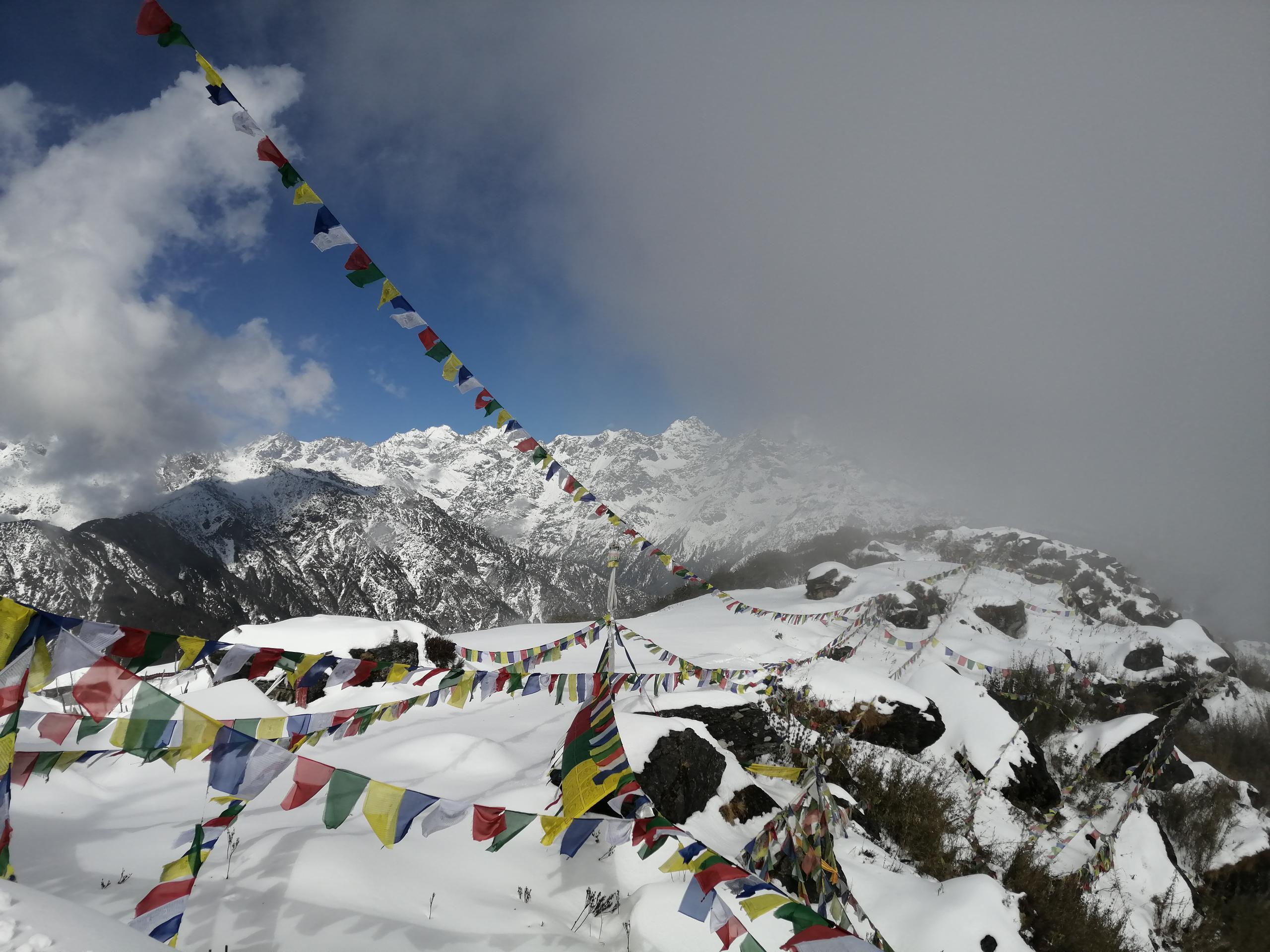
As a part of the Booster Grant by Open Mapping Hub- Asia Pacific, Kathmandu Living Labs has been remotely mapping different parts of Nepal to support the advancement of ongoing mapping and community building activities in OSM Nepal community. Being a mountainous area, the human settlement and road network distribution is very sparse in Manag District. Most of the areas are covered by snows or bare rocks. Swipe slowly through the satellite imagery and mark anything that looks like it could be a building or village.

2322
km2
245
Contributors
Project Completion
100% completed
020406080100Jan 07, 22Jan 09, 22Jan 11, 22Jan 13, 22Jan 15, 22Jan 18, 22
Last updated: Jul 26, 2024, 11:50:24 PM

Download the data

Below you'll find the data downloads for this MapSwipe project, including a GeoJSON file that can be imported into the HOT Tasking Manager for more detailed mapping of the area. If you need more information or if you have a special request related to MapSwipe data get in contact with the team at the Heidelberg Institute for Geoinformation Technology
Aggregated Results
Aggregated Results. This gives you the unfiltered MapSwipe results aggregated on the task level. This is most suited if you want to apply some custom data processing with the MapSwipe data, e.g. select only specific tasks. Check our documentation for more details. (Note that you need to unzip this .gz file before you can use it.)
csv
2.7 MB
Download
Aggregated Results (with Geometry)
Aggregated Results. This gives you the unfiltered MapSwipe results aggregated on the task level. This is most suited if you want to apply some custom data processing with the MapSwipe data, e.g. select only specific tasks. Check our documentation for more details. (Note that you need to unzip this .gz file before you can use it.)
geojson
2.8 MB
Download
HOT Tasking Manager Geometries
This dataset contains shapes that are ready to use in the HOT Tasking Manager. Currently, the geometries consist of maximum 15 MapSwipe Tasks, where at least 35% of all users indicated the presence of a building by classifying as "yes" or "maybe"
geojson
50.8 kB
Download
Moderate to High Agreement Yes Maybe Geometries
This dataset contains all results where at least 35% of users submitted a "yes" or "maybe" classification. The output dataset depicts the union of all selected results.
geojson
83.8 kB
Download
Groups
Groups. (Note that you need to unzip this .gz file before you can use it.)
csv
5.2 kB
Download
History
History
geojson
1.4 kB
Download
Results
This gives you the unfiltered MapSwipe results. (Note that you need to unzip this .gz file before you can use it.)
csv
1.3 MB
Download
Tasks
Tasks. (Note that you need to unzip this .gz file before you can use it.)
csv
2.2 MB
Download
Users
This dataset contains information on the individual contributions per user. This tells you for instance the most active users of this project. (Note that you need to unzip this .gz file before you can use it.)
csv
10.4 kB
Download
Area of Interest
This dataset contains information on the project region.
geojson
0.1 MB
Download

Our license

This project is part of the OpenStreetMap community. The goal is high-quality geographical data, freely accessible and available to everyone. OSM’s reciprocal license protects the data from being appropriated by services that do not share back to OSM.

MapSwipe is released under a "liberal" non-reciprocal license (Creative Commons Attribution). Whenever you want to use the data, just make sure to credit the MapSwipe contributors.