Locating isolated herders (4)

Find
Finished
Lesotho
Lesotho Town and Regional Planning
Jan 27, 2022
Locating isolated herders (4)

Project overview

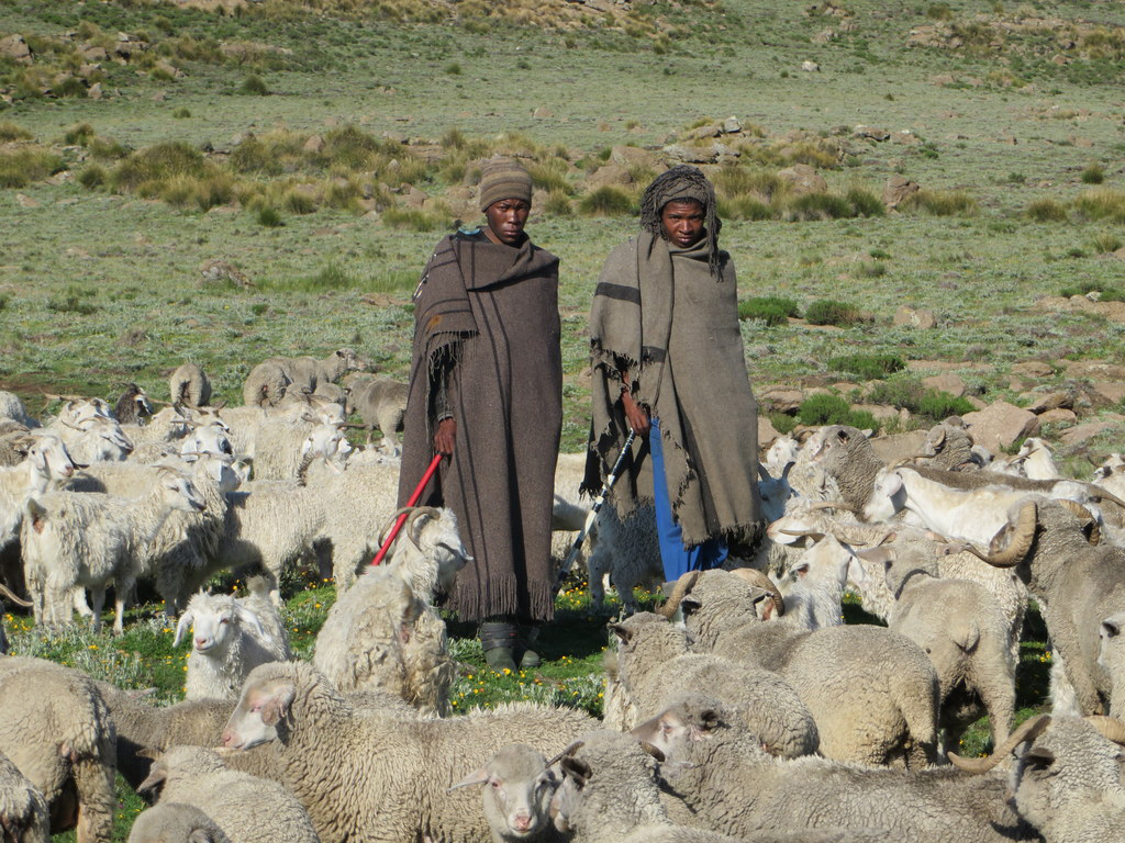
The Highlands of Lesotho occupies the largest part of the country and is characterised by rugged terrain, with remote villages which are difficult to reach. It is also known for heavy snow during winter season. This harsh weather poses a life threat to herders in remote pasture lands, commonly known as Cattle Post Areas, often losing their lives trapped in snow and aid workers unable to locate them. In this project, help us to identify buildings and huts so that humanitarian aid workers know where to go when disaster strikes

843
km2
519
Contributors
Project Completion
100% completed
020406080100Mar 03, 22Mar 03, 22Mar 03, 22Mar 04, 22Mar 04, 22Mar 05, 22
Last updated: Jul 26, 2024, 12:10:20 AM

Download the data

Below you'll find the data downloads for this MapSwipe project, including a GeoJSON file that can be imported into the HOT Tasking Manager for more detailed mapping of the area. If you need more information or if you have a special request related to MapSwipe data get in contact with the team at the Heidelberg Institute for Geoinformation Technology
Aggregated Results
Aggregated Results. This gives you the unfiltered MapSwipe results aggregated on the task level. This is most suited if you want to apply some custom data processing with the MapSwipe data, e.g. select only specific tasks. Check our documentation for more details. (Note that you need to unzip this .gz file before you can use it.)
csv
5.8 MB
Download
Aggregated Results (with Geometry)
Aggregated Results. This gives you the unfiltered MapSwipe results aggregated on the task level. This is most suited if you want to apply some custom data processing with the MapSwipe data, e.g. select only specific tasks. Check our documentation for more details. (Note that you need to unzip this .gz file before you can use it.)
geojson
5.6 MB
Download
HOT Tasking Manager Geometries
This dataset contains shapes that are ready to use in the HOT Tasking Manager. Currently, the geometries consist of maximum 15 MapSwipe Tasks, where at least 35% of all users indicated the presence of a building by classifying as "yes" or "maybe"
geojson
0.2 MB
Download
Moderate to High Agreement Yes Maybe Geometries
This dataset contains all results where at least 35% of users submitted a "yes" or "maybe" classification. The output dataset depicts the union of all selected results.
geojson
0.2 MB
Download
Groups
Groups. (Note that you need to unzip this .gz file before you can use it.)
csv
10.2 kB
Download
History
History
geojson
0.5 kB
Download
Results
This gives you the unfiltered MapSwipe results. (Note that you need to unzip this .gz file before you can use it.)
csv
3.6 MB
Download
Tasks
Tasks. (Note that you need to unzip this .gz file before you can use it.)
csv
4.9 MB
Download
Users
This dataset contains information on the individual contributions per user. This tells you for instance the most active users of this project. (Note that you need to unzip this .gz file before you can use it.)
csv
21.3 kB
Download
Area of Interest
This dataset contains information on the project region.
geojson
3.9 kB
Download

Our license

This project is part of the OpenStreetMap community. The goal is high-quality geographical data, freely accessible and available to everyone. OSM’s reciprocal license protects the data from being appropriated by services that do not share back to OSM.

MapSwipe is released under a "liberal" non-reciprocal license (Creative Commons Attribution). Whenever you want to use the data, just make sure to credit the MapSwipe contributors.