Zambia Census (7)

Find
Finished
Luapula Province
Open Mapping Hub Eastern and Southern Africa
Mar 18, 2022
Zambia Census (7)

Project overview

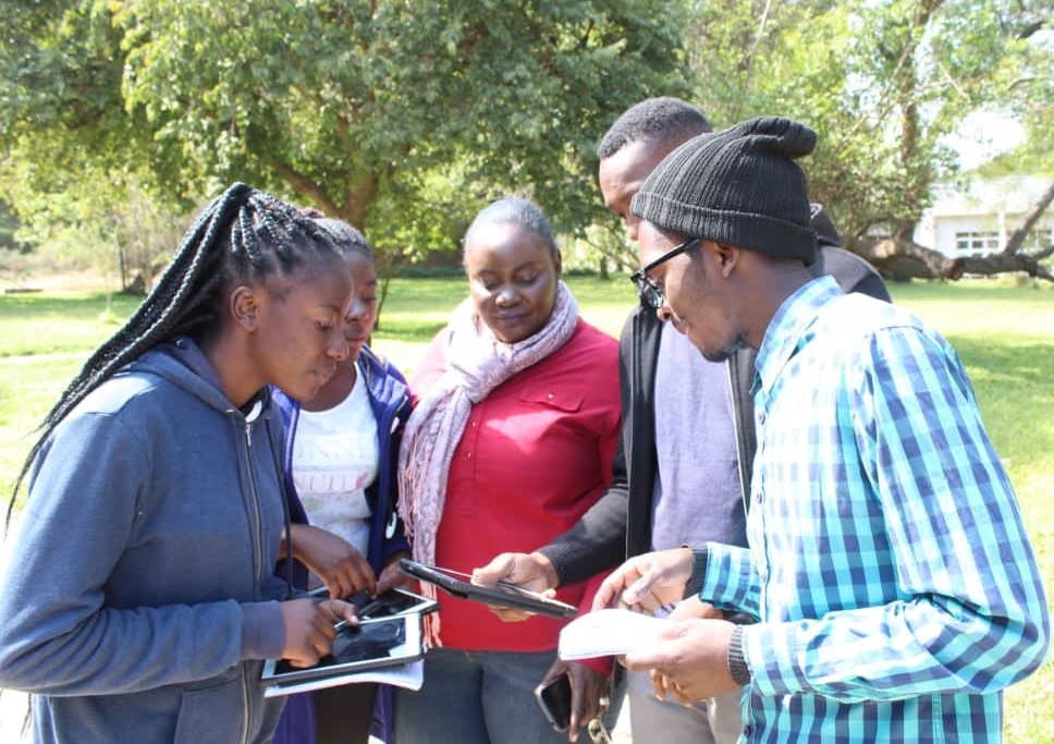
The Open Mapping Hub – Eastern and Southern Africa (OMH-ESA) team is working with Zambia Statistics Agency (ZamStats) to use OpenStreetMap, open data and open mapping processes and methodologies in statistical development and production in Zambia. This includes the use of OpenStreetMap (OSM) for digitization of building footprints across Zambia, and addition of currently mapped datasets to OSM for the upcoming National Census 2022. This will further strengthen geospatial data collection, dissemination and use in Zambia.

2505
km2
187
Contributors
Project Completion
100% completed
020406080100Mar 19, 22Mar 19, 22Mar 20, 22Mar 20, 22Mar 21, 22Mar 22, 22
Last updated: Jul 26, 2024, 12:10:20 AM

Download the data

Below you'll find the data downloads for this MapSwipe project, including a GeoJSON file that can be imported into the HOT Tasking Manager for more detailed mapping of the area. If you need more information or if you have a special request related to MapSwipe data get in contact with the team at the Heidelberg Institute for Geoinformation Technology
Aggregated Results
Aggregated Results. This gives you the unfiltered MapSwipe results aggregated on the task level. This is most suited if you want to apply some custom data processing with the MapSwipe data, e.g. select only specific tasks. Check our documentation for more details. (Note that you need to unzip this .gz file before you can use it.)
csv
3.4 MB
Download
Aggregated Results (with Geometry)
Aggregated Results. This gives you the unfiltered MapSwipe results aggregated on the task level. This is most suited if you want to apply some custom data processing with the MapSwipe data, e.g. select only specific tasks. Check our documentation for more details. (Note that you need to unzip this .gz file before you can use it.)
geojson
3.3 MB
Download
HOT Tasking Manager Geometries
This dataset contains shapes that are ready to use in the HOT Tasking Manager. Currently, the geometries consist of maximum 15 MapSwipe Tasks, where at least 35% of all users indicated the presence of a building by classifying as "yes" or "maybe"
geojson
15.9 kB
Download
Moderate to High Agreement Yes Maybe Geometries
This dataset contains all results where at least 35% of users submitted a "yes" or "maybe" classification. The output dataset depicts the union of all selected results.
geojson
23.2 kB
Download
Groups
Groups. (Note that you need to unzip this .gz file before you can use it.)
csv
4.9 kB
Download
History
History
geojson
0.6 kB
Download
Results
This gives you the unfiltered MapSwipe results. (Note that you need to unzip this .gz file before you can use it.)
csv
4.3 MB
Download
Tasks
Tasks. (Note that you need to unzip this .gz file before you can use it.)
csv
2.8 MB
Download
Users
This dataset contains information on the individual contributions per user. This tells you for instance the most active users of this project. (Note that you need to unzip this .gz file before you can use it.)
csv
8.1 kB
Download
Area of Interest
This dataset contains information on the project region.
geojson
5.9 kB
Download

Our license

This project is part of the OpenStreetMap community. The goal is high-quality geographical data, freely accessible and available to everyone. OSM’s reciprocal license protects the data from being appropriated by services that do not share back to OSM.

MapSwipe is released under a "liberal" non-reciprocal license (Creative Commons Attribution). Whenever you want to use the data, just make sure to credit the MapSwipe contributors.