Open Cities (36)

Find
Finished
Honduras
HOT
Mar 21, 2022
Open Cities (36)

Project overview

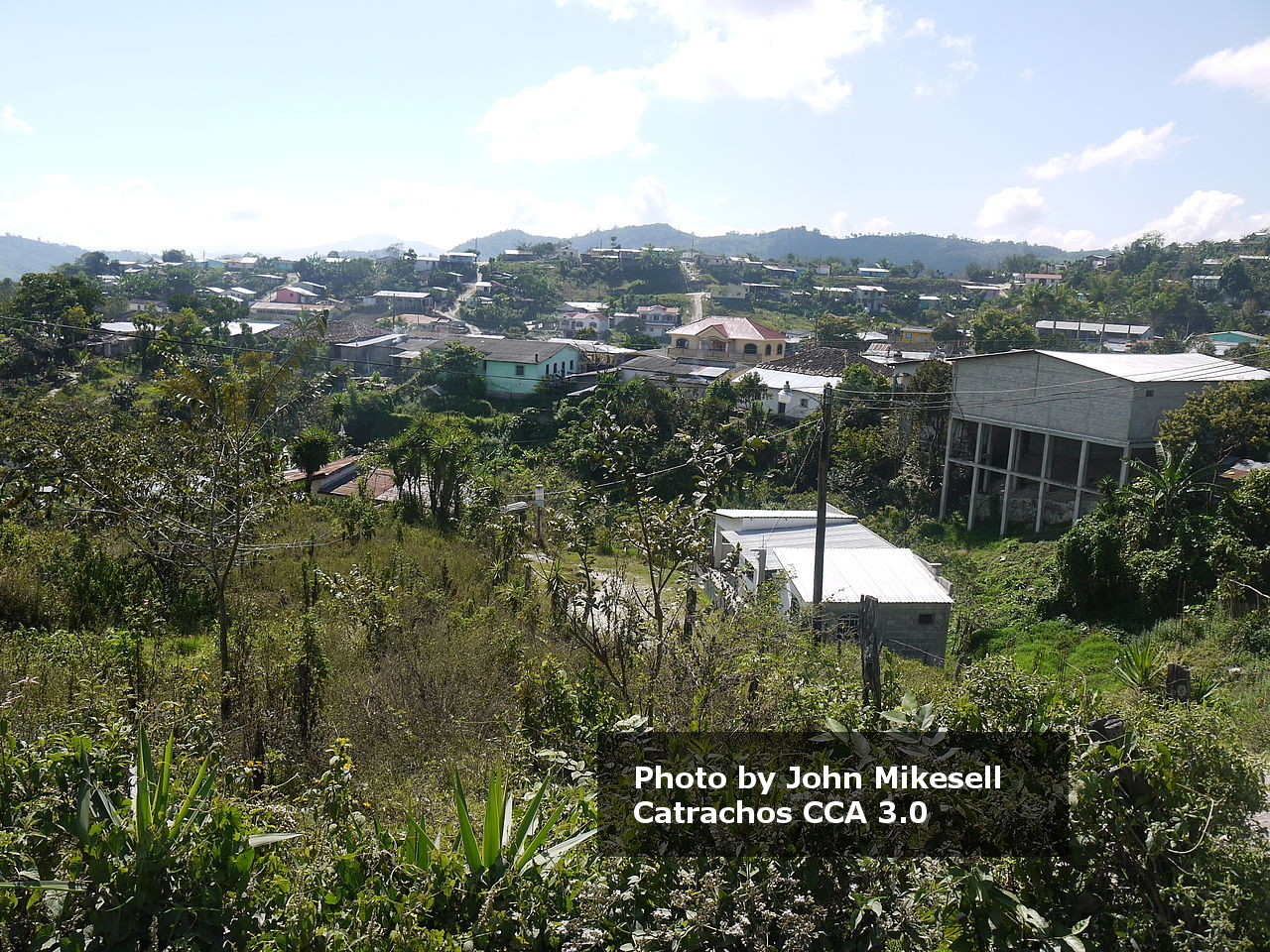
Within the framework of the Open Cities Latin America and Caribbean program, HOT will provide data to local institutions and various organizations working in the area for humanitarian aid and the consolidation of human settlements, consisting of improving their access to services and the quality of their housing, and developing local risk management capacities.

4286
km2
304
Contributors
Project Completion
100% completed
020406080100Mar 24, 22Mar 24, 22Mar 24, 22Mar 25, 22Mar 25, 22Mar 26, 22
Last updated: Jul 26, 2024, 12:10:20 AM

Download the data

Below you'll find the data downloads for this MapSwipe project, including a GeoJSON file that can be imported into the HOT Tasking Manager for more detailed mapping of the area. If you need more information or if you have a special request related to MapSwipe data get in contact with the team at the Heidelberg Institute for Geoinformation Technology
Aggregated Results
Aggregated Results. This gives you the unfiltered MapSwipe results aggregated on the task level. This is most suited if you want to apply some custom data processing with the MapSwipe data, e.g. select only specific tasks. Check our documentation for more details. (Note that you need to unzip this .gz file before you can use it.)
csv
6.2 MB
Download
Aggregated Results (with Geometry)
Aggregated Results. This gives you the unfiltered MapSwipe results aggregated on the task level. This is most suited if you want to apply some custom data processing with the MapSwipe data, e.g. select only specific tasks. Check our documentation for more details. (Note that you need to unzip this .gz file before you can use it.)
geojson
6.2 MB
Download
HOT Tasking Manager Geometries
This dataset contains shapes that are ready to use in the HOT Tasking Manager. Currently, the geometries consist of maximum 15 MapSwipe Tasks, where at least 35% of all users indicated the presence of a building by classifying as "yes" or "maybe"
geojson
0.2 MB
Download
Moderate to High Agreement Yes Maybe Geometries
This dataset contains all results where at least 35% of users submitted a "yes" or "maybe" classification. The output dataset depicts the union of all selected results.
geojson
0.4 MB
Download
Groups
Groups. (Note that you need to unzip this .gz file before you can use it.)
csv
9.1 kB
Download
History
History
geojson
0.4 kB
Download
Results
This gives you the unfiltered MapSwipe results. (Note that you need to unzip this .gz file before you can use it.)
csv
8.3 MB
Download
Tasks
Tasks. (Note that you need to unzip this .gz file before you can use it.)
csv
5.1 MB
Download
Users
This dataset contains information on the individual contributions per user. This tells you for instance the most active users of this project. (Note that you need to unzip this .gz file before you can use it.)
csv
13.8 kB
Download
Area of Interest
This dataset contains information on the project region.
geojson
42.9 kB
Download

Our license

This project is part of the OpenStreetMap community. The goal is high-quality geographical data, freely accessible and available to everyone. OSM’s reciprocal license protects the data from being appropriated by services that do not share back to OSM.

MapSwipe is released under a "liberal" non-reciprocal license (Creative Commons Attribution). Whenever you want to use the data, just make sure to credit the MapSwipe contributors.