OSM Building Validation (1)
Project overview
New project type!
Welcome to a new type of project to validate building footprints. You must be on the newest app version (2.1.8). Please use the tutorial to learn how to contribute.
Project description
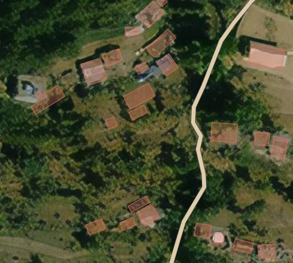
Areas of Kuale and Nuwakot, Nepal were mapped in 2016 to support disaster risk reduction programming. Help us understand the quality of the OSM building data in the area. The results will be used to help evaluate if the area should be re-mapped.
Download the data
Area of Interest
Our license
This project is part of the OpenStreetMap community. The goal is high-quality geographical data, freely accessible and available to everyone. OSM’s reciprocal license protects the data from being appropriated by services that do not share back to OSM.
MapSwipe is released under a "liberal" non-reciprocal license (Creative Commons Attribution). Whenever you want to use the data, just make sure to credit the MapSwipe contributors.