Change Detection Mount Agung (1)
Project overview
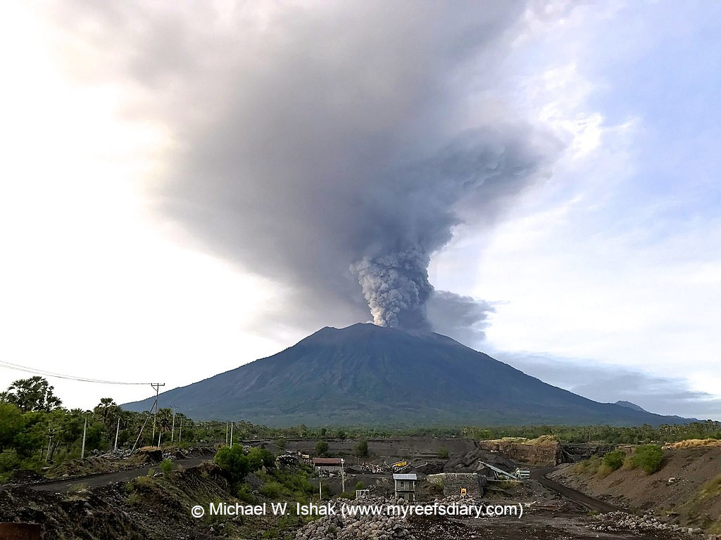
This is a change detection project type. You are looking for changes in the satellite imagery which show damaged buildings or general changes in the settlement structure. ### Background: Open Knowledge Kit's 10 free and open source tools are being implemented in a humanitarian and local pandemic recovery program for presentation at several G20 events. Humanitarian early warning and rapid assessment systems at very low cost, and a food, tourism and creative industries regeneration are providing trained, local and mostly non-technical women with 2-17 times higher local wages by removing expensive outside staff, software and equipment. The goal is to shift knowledge and stewardship to the local community and implement cross-sector accountability to address gender, equity and climate gaps for an inclusive pandemic recovery.
Download the data
Aggregated Results
Aggregated Results (with Geometry)
HOT Tasking Manager Geometries
Moderate to High Agreement Yes Maybe Geometries
Groups
History
Results
Tasks
Users
Area of Interest
Our license
This project is part of the OpenStreetMap community. The goal is high-quality geographical data, freely accessible and available to everyone. OSM’s reciprocal license protects the data from being appropriated by services that do not share back to OSM.
MapSwipe is released under a "liberal" non-reciprocal license (Creative Commons Attribution). Whenever you want to use the data, just make sure to credit the MapSwipe contributors.