Road Finder Project (2)
Project overview
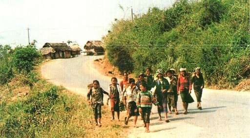
Help us find roads, tracks and paths only using satellite imagery in Laos. After this project, we will be using the HOT Tasking Manager to map these features. The data will then be used by humanitarian organizations to plan and develop programs to reach out to remote communities in Laos. To engage further with the OpenStreetMap Laos community, please join our WhatsApp group! Image credit: VNA Publishers
Download the data
Aggregated Results
Aggregated Results (with Geometry)
HOT Tasking Manager Geometries
Moderate to High Agreement Yes Maybe Geometries
Groups
History
Results
Tasks
Users
Area of Interest
Our license
This project is part of the OpenStreetMap community. The goal is high-quality geographical data, freely accessible and available to everyone. OSM’s reciprocal license protects the data from being appropriated by services that do not share back to OSM.
MapSwipe is released under a "liberal" non-reciprocal license (Creative Commons Attribution). Whenever you want to use the data, just make sure to credit the MapSwipe contributors.