Building and Roadway Detection (1)
Project overview
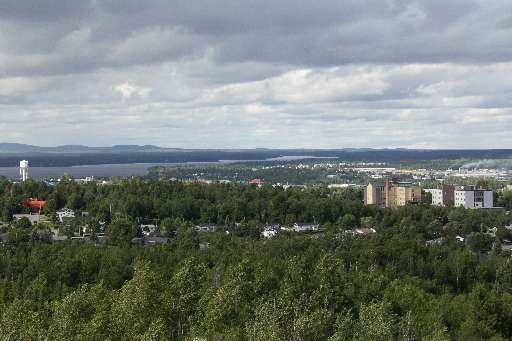
The work of the Canadian Red Cross in our domestic Missing Maps initiative centres around improving the basemap for communities at risk of disaster. In 2023, areas of Val-d'Or were evacuated due to wildfire, a risk increasing year over year. Additionally, this area is heavily reliant on mining and resource extraction, posing potential environmental risks to the surrounding communities. Your contribution to this project will help us identify where buildings and roadways are to better map them for emergency preparedness and response in this region of Québec.
Download the data
Aggregated Results
Aggregated Results (with Geometry)
HOT Tasking Manager Geometries
Moderate to High Agreement Yes Maybe Geometries
Groups
History
Results
Tasks
Users
Area of Interest
Our license
This project is part of the OpenStreetMap community. The goal is high-quality geographical data, freely accessible and available to everyone. OSM’s reciprocal license protects the data from being appropriated by services that do not share back to OSM.
MapSwipe is released under a "liberal" non-reciprocal license (Creative Commons Attribution). Whenever you want to use the data, just make sure to credit the MapSwipe contributors.