Mapping Buildings (1)

Find
Finished
Danyi, Togo
OpenStreetMap Togo
Jan 4, 2024
Mapping Buildings (1)

Project overview

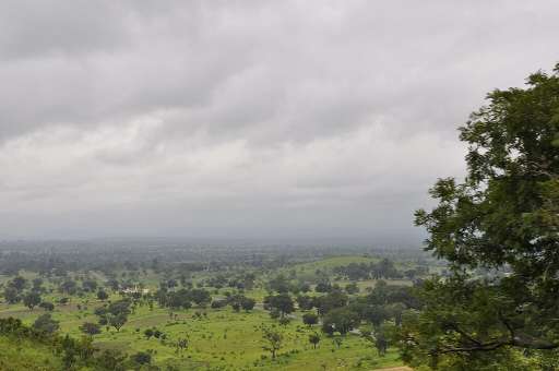
Recherchez les bâtiments. L'objectif de ce projet est de cartographier tous les bâtiments dans les zones rurales de Danyi, au Togo. Le but ultime de ce projet est de fournir autant de données fiables que possible afin d'assurer une meilleure planification pour la région. Please look for buildings. The aim of this project is to map all the buildings in rural areas of Danyi, Togo. The ultimate aim of this project is to provide as much reliable data as possible to ensure better planning for the region.

168
km2
76
Contributors
Project Completion
99% completed
020406080100Jan 04, 24Jan 05, 24Jan 06, 24Jan 08, 24Jan 09, 24Jan 11, 24
Last updated: Jul 26, 2024, 11:50:24 PM

Download the data

Below you'll find the data downloads for this MapSwipe project, including a GeoJSON file that can be imported into the HOT Tasking Manager for more detailed mapping of the area. If you need more information or if you have a special request related to MapSwipe data get in contact with the team at the Heidelberg Institute for Geoinformation Technology
Aggregated Results
Aggregated Results. This gives you the unfiltered MapSwipe results aggregated on the task level. This is most suited if you want to apply some custom data processing with the MapSwipe data, e.g. select only specific tasks. Check our documentation for more details. (Note that you need to unzip this .gz file before you can use it.)
csv
0.3 MB
Download
Aggregated Results (with Geometry)
Aggregated Results. This gives you the unfiltered MapSwipe results aggregated on the task level. This is most suited if you want to apply some custom data processing with the MapSwipe data, e.g. select only specific tasks. Check our documentation for more details. (Note that you need to unzip this .gz file before you can use it.)
geojson
0.3 MB
Download
HOT Tasking Manager Geometries
This dataset contains shapes that are ready to use in the HOT Tasking Manager. Currently, the geometries consist of maximum 15 MapSwipe Tasks, where at least 35% of all users indicated the presence of a building by classifying as "yes" or "maybe"
geojson
59 kB
Download
Moderate to High Agreement Yes Maybe Geometries
This dataset contains all results where at least 35% of users submitted a "yes" or "maybe" classification. The output dataset depicts the union of all selected results.
geojson
0.1 MB
Download
Groups
Groups. (Note that you need to unzip this .gz file before you can use it.)
csv
1.5 kB
Download
History
History
geojson
1 kB
Download
Results
This gives you the unfiltered MapSwipe results. (Note that you need to unzip this .gz file before you can use it.)
csv
0.2 MB
Download
Tasks
Tasks. (Note that you need to unzip this .gz file before you can use it.)
csv
0.2 MB
Download
Users
This dataset contains information on the individual contributions per user. This tells you for instance the most active users of this project. (Note that you need to unzip this .gz file before you can use it.)
csv
3.6 kB
Download
Area of Interest
This dataset contains information on the project region.
geojson
16.5 kB
Download

Our license

This project is part of the OpenStreetMap community. The goal is high-quality geographical data, freely accessible and available to everyone. OSM’s reciprocal license protects the data from being appropriated by services that do not share back to OSM.

MapSwipe is released under a "liberal" non-reciprocal license (Creative Commons Attribution). Whenever you want to use the data, just make sure to credit the MapSwipe contributors.