Find - Buildings (1)

Find
Finished
The Granadines
OpenMappingHub - LAC
Jul 9, 2024
Find - Buildings (1)

Project overview

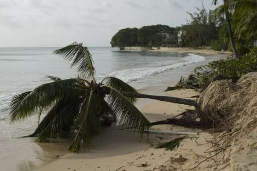
On July 01, 2024 Hurricane Beryl impacted St. Vincent and the Grenadines and Grenada as a Category 5 hurricane. Damages include 20-40% of homes damaged in Bequia, St Vincent and the Grenadines, 98% of houses and infrastructure heavily damaged or destroyed in Union Island, St Vincent and Grenadines, 100% of homes destroyed in Canouan, St Vincent and the Grenadines, 98% of infrastructure destroyed in Carriacou and Petite Martinique, Grenada.

39
km2
11
Contributors
Project Completion
100% completed
020406080100Jul 09, 24Jul 09, 24Jul 09, 24Jul 09, 24Jul 09, 24Jul 10, 24
Last updated: Oct 23, 2024, 12:02:39 AM

Download the data

Below you'll find the data downloads for this MapSwipe project, including a GeoJSON file that can be imported into the HOT Tasking Manager for more detailed mapping of the area. If you need more information or if you have a special request related to MapSwipe data get in contact with the team at the Heidelberg Institute for Geoinformation Technology
Aggregated Results
Aggregated Results. This gives you the unfiltered MapSwipe results aggregated on the task level. This is most suited if you want to apply some custom data processing with the MapSwipe data, e.g. select only specific tasks. Check our documentation for more details. (Note that you need to unzip this .gz file before you can use it.)
csv
80.9 kB
Download
Aggregated Results (with Geometry)
Aggregated Results. This gives you the unfiltered MapSwipe results aggregated on the task level. This is most suited if you want to apply some custom data processing with the MapSwipe data, e.g. select only specific tasks. Check our documentation for more details. (Note that you need to unzip this .gz file before you can use it.)
geojson
87.1 kB
Download
HOT Tasking Manager Geometries
This dataset contains shapes that are ready to use in the HOT Tasking Manager. Currently, the geometries consist of maximum 15 MapSwipe Tasks, where at least 35% of all users indicated the presence of a building by classifying as "yes" or "maybe"
geojson
25.4 kB
Download
Moderate to High Agreement Yes Maybe Geometries
This dataset contains all results where at least 35% of users submitted a "yes" or "maybe" classification. The output dataset depicts the union of all selected results.
geojson
34.5 kB
Download
Groups
Groups. (Note that you need to unzip this .gz file before you can use it.)
csv
1 kB
Download
History
History
geojson
0.4 kB
Download
Results
This gives you the unfiltered MapSwipe results. (Note that you need to unzip this .gz file before you can use it.)
csv
85.7 kB
Download
Tasks
Tasks. (Note that you need to unzip this .gz file before you can use it.)
csv
70 kB
Download
Users
This dataset contains information on the individual contributions per user. This tells you for instance the most active users of this project. (Note that you need to unzip this .gz file before you can use it.)
csv
0.7 kB
Download
Area of Interest
This dataset contains information on the project region.
geojson
23.4 kB
Download

Our license

This project is part of the OpenStreetMap community. The goal is high-quality geographical data, freely accessible and available to everyone. OSM’s reciprocal license protects the data from being appropriated by services that do not share back to OSM.

MapSwipe is released under a "liberal" non-reciprocal license (Creative Commons Attribution). Whenever you want to use the data, just make sure to credit the MapSwipe contributors.