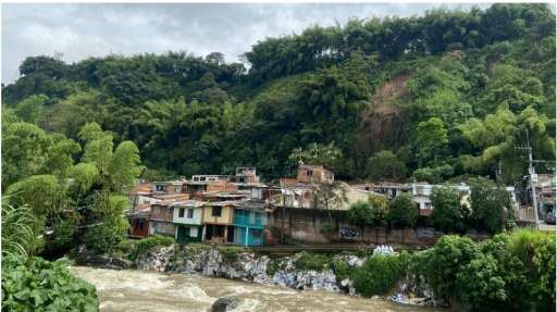
Finding buildings 00000000 - Zamora , Chinchipe (1)

Project overview
Initiative led by the Secretariat of Risk Management of Ecuador, in collaboration with strategic actors from civil society, academia, community, local governments, NGOs, international cooperation, public and private sectors. Its objective is to contribute to closing information gaps through participatory and collaborative mapping of risk factors in the provinces of Ecuador.
Download the data
Area of Interest
Our license
This project is part of the OpenStreetMap community. The goal is high-quality geographical data, freely accessible and available to everyone. OSM’s reciprocal license protects the data from being appropriated by services that do not share back to OSM.
MapSwipe is released under a "liberal" non-reciprocal license (Creative Commons Attribution). Whenever you want to use the data, just make sure to credit the MapSwipe contributors.
