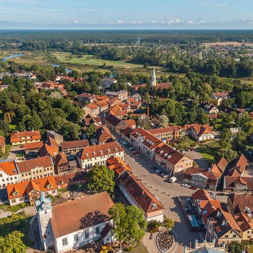
Buildings in Nyasubi Ward (1)

Project overview
Mapping buildings is a crucial step toward building sustainable cities and ensuring that every community is represented on the map. By accurately identifying and documenting structures, urban planners and policymakers can better allocate resources, manage infrastructure, and design interventions that promote sustainable development. For example, mapping efforts can help improve access to essential services like water, electricity, and sanitation while fostering resilience to climate change. Additionally, mapping wards and other administrative units ensures that even remote or underserved areas are visible and included in development initiatives, empowering communities and enhancing their capacity to contribute to broader sustainable goals.
Download the data
Aggregated Results
Aggregated Results (with Geometry)
HOT Tasking Manager Geometries
Moderate to High Agreement Yes Maybe Geometries
Groups
History
Results
Tasks
Users
Area of Interest
Our license
This project is part of the OpenStreetMap community. The goal is high-quality geographical data, freely accessible and available to everyone. OSM’s reciprocal license protects the data from being appropriated by services that do not share back to OSM.
MapSwipe is released under a "liberal" non-reciprocal license (Creative Commons Attribution). Whenever you want to use the data, just make sure to credit the MapSwipe contributors.
