Find - Buildings (2)
Project overview
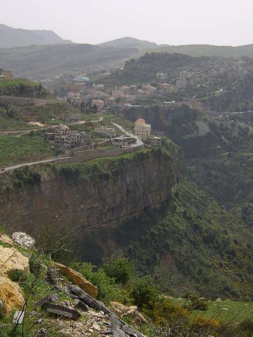
Recent conflict escalation in Lebanon has resulted in a humanitarian crisis, with up to one in four buildings in southern Lebanon damaged by the war. Humanitarian analysts working to understand the impact of the war are challenged in locating damaged buildings across rural areas. By identifying buildings with imagery captured before the latest round of conflict, you’ll be supporting humanitarian planners that are attempting to detect damaged buildings in southern Lebanon.
Download the data
Aggregated Results
Aggregated Results (with Geometry)
HOT Tasking Manager Geometries
Moderate to High Agreement Yes Maybe Geometries
Groups
History
Results
Tasks
Users
Area of Interest
Our license
This project is part of the OpenStreetMap community. The goal is high-quality geographical data, freely accessible and available to everyone. OSM’s reciprocal license protects the data from being appropriated by services that do not share back to OSM.
MapSwipe is released under a "liberal" non-reciprocal license (Creative Commons Attribution). Whenever you want to use the data, just make sure to credit the MapSwipe contributors.