Find - Flood Zone Buildings (3)
Project overview
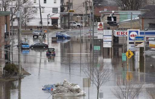
The project aims to identify buildings within a 1-kilometer radius of flood zones as defined by the Quebec government. Leveraging MapSwipe, this initiative aims to ensure comprehensive coverage, particularly in less densely populated areas, where inhabited zones are often overlooked. Once these buildings are identified, they will be prioritized in future mapathons for detailed mapping, allowing a focused approach to support smaller communities in their disaster preparedness and response efforts.
Download the data
Aggregated Results
Aggregated Results (with Geometry)
HOT Tasking Manager Geometries
Moderate to High Agreement Yes Maybe Geometries
Groups
History
Results
Tasks
Users
Area of Interest
Our license
This project is part of the OpenStreetMap community. The goal is high-quality geographical data, freely accessible and available to everyone. OSM’s reciprocal license protects the data from being appropriated by services that do not share back to OSM.
MapSwipe is released under a "liberal" non-reciprocal license (Creative Commons Attribution). Whenever you want to use the data, just make sure to credit the MapSwipe contributors.