Finding buildings (1)
Project overview
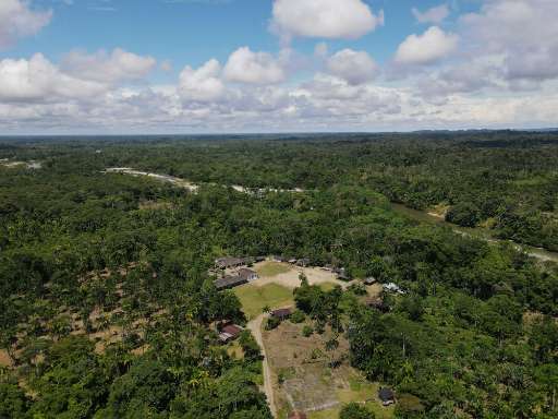
Proyecto de Mapeo del Cabildo Wairari Atun Sacha en el municipio de Santa Rosa, región Bota Caucana, departamento del Cauca. El proyecto tiene como objetivo principal realizar el mapeo de viviendas y sitios sagrados del Pueblo Inga, con el propósito de visibilizar y fortalecer el conocimiento territorial de la comunidad. Esta iniciativa busca promover el reconocimiento y preservación de su patrimonio cultural y espiritual, así como facilitar la gestión de su territorio de manera autónoma y sostenible.
Download the data
Aggregated Results
Aggregated Results (with Geometry)
HOT Tasking Manager Geometries
Moderate to High Agreement Yes Maybe Geometries
Groups
History
Results
Tasks
Users
Area of Interest
Our license
This project is part of the OpenStreetMap community. The goal is high-quality geographical data, freely accessible and available to everyone. OSM’s reciprocal license protects the data from being appropriated by services that do not share back to OSM.
MapSwipe is released under a "liberal" non-reciprocal license (Creative Commons Attribution). Whenever you want to use the data, just make sure to credit the MapSwipe contributors.