Find - Buildings (1)
Project overview
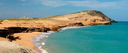
Este proyecto tiene como objetivo principal la identificación y posterior mapeo de asentamientos localizados en el departamento de La Guajira, Colombia, con un enfoque especial en aquellas comunidades ubicadas en zonas de alta vulnerabilidad climática, como áreas afectadas por sequías prolongadas y escasez hídrica. Esta iniciativa busca contribuir al fortalecimiento de las capacidades territoriales y a la toma de decisiones informadas en materia de gestión del agua, adaptación al cambio climático y desarrollo comunitario.
Download the data
Aggregated Results
Aggregated Results (with Geometry)
HOT Tasking Manager Geometries
Moderate to High Agreement Yes Maybe Geometries
Groups
History
Results
Tasks
Users
Area of Interest
Our license
This project is part of the OpenStreetMap community. The goal is high-quality geographical data, freely accessible and available to everyone. OSM’s reciprocal license protects the data from being appropriated by services that do not share back to OSM.
MapSwipe is released under a "liberal" non-reciprocal license (Creative Commons Attribution). Whenever you want to use the data, just make sure to credit the MapSwipe contributors.