Find Features - Find Buildings_Koraon - India (12) HOT
Find Features
Finished
India
HOT
Mar 6, 2026
Project overview
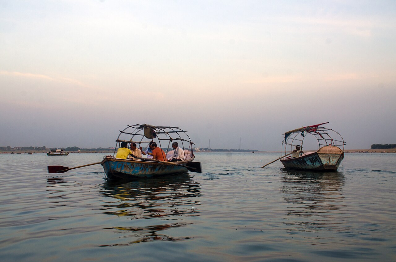
This MapSwipe project aims to identify building footprints in the Allahabad (Prayagraj) district, including the Koraon area, which experienced severe flooding in 2025 after heavy monsoon rains caused the Ganga and Yamuna rivers to rise above danger levels. Many villages, homes, and agricultural areas were affected, highlighting the vulnerability of the region to flooding.
By mapping buildings in these areas, volunteers will help create essential baseline data on settlements and infrastructure. This information will support climate resilience efforts by improving preparedness and enabling faster damage assessments and more effective response if similar floods occur again in the future
Image by [Rangan Datta ](https://commons.wikimedia.org/wiki/File:Prayagraj_Sangam_2.jpg)Wiki under Creative Commons Attribution-Share Alike 4.0
69
km2
0
Contributors
Project Completion
0% completed
Download the data
Below you'll find the data downloads for this MapSwipe project, including a GeoJSON file that can be imported into the HOT Tasking Manager for more detailed mapping of the area. If you need more information or if you have a special request related to MapSwipe data get in contact with the team at the Heidelberg Institute for Geoinformation Technology
Area of Interest
This dataset contains information on the project region.
GEOJSON
0.7 kB
Our license
This project is part of the OpenStreetMap community. The goal is high-quality geographical data, freely accessible and available to everyone. OSM’s reciprocal license protects the data from being appropriated by services that do not share back to OSM.
MapSwipe is released under a "liberal" non-reciprocal license (Creative Commons Attribution). Whenever you want to use the data, just make sure to credit the MapSwipe contributors.
