
Find Features - Find roads Costa - Mexico (1) HOT
Find Features
Active
Mexico
HOT
Sep 30, 2026
Project overview
In the Soconusco region and along the Chiapas coast, the rail corridor passes through urban and rural communities as well as areas where geospatial data is still incomplete. Having up-to-date data on the roads surrounding this infrastructure is important for improving the representation of the territory on OpenStreetMap.
Using MapSwipe, volunteers will identify roads visible in satellite imagery within the prioritized areas along the railroad corridor. The results will help guide subsequent detailed mapping efforts.
Through this collaboration, we aim to strengthen the availability of open geographic data in Chiapas and build a more comprehensive database on the communities and settlements near the railroad corridor.
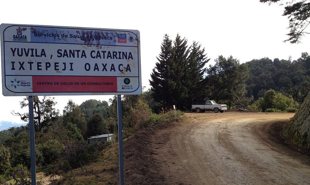
Picture is licensed under the [Creative Commons Attribution-Share Alike 3.0 Unported license](https://creativecommons.org/licenses/by-sa/3.0/deed.en) by Hari Seldon
511
km2
229
Contributors
Project Completion
46% completed
Last updated: Oct 3, 2026
Download the data
Below you'll find the data downloads for this MapSwipe project, including a GeoJSON file that can be imported into the HOT Tasking Manager for more detailed mapping of the area. If you need more information or if you have a special request related to MapSwipe data get in contact with the team at the Heidelberg Institute for Geoinformation Technology
Aggregated Results
Aggregated Results. This gives you the unfiltered MapSwipe results aggregated on the task level. This is most suited if you want to apply some custom data processing with the MapSwipe data, e.g. select only specific tasks. Check our documentation for more details. (Note that you need to unzip this .gz file before you can use it.)
GZIP
0.8 MB
Aggregated Results (with Geometry)
Aggregated Results. This gives you the unfiltered MapSwipe results aggregated on the task level. This is most suited if you want to apply some custom data processing with the MapSwipe data, e.g. select only specific tasks. Check our documentation for more details. (Note that you need to unzip this .gz file before you can use it.)
GZIP
0.9 MB
Groups
Groups. (Note that you need to unzip this .gz file before you can use it.)
GZIP
4.6 kB
History
History
CSV
0.6 kB
Results
This gives you the unfiltered MapSwipe results. (Note that you need to unzip this .gz file before you can use it.)
GZIP
1.2 MB
Tasks
Tasks. (Note that you need to unzip this .gz file before you can use it.)
GZIP
0.7 MB
Users
This dataset contains information on the individual contributions per user. This tells you for instance the most active users of this project. (Note that you need to unzip this .gz file before you can use it.)
GZIP
11.3 kB
Area of Interest
This dataset contains information on the project region.
GEOJSON
0.5 MB
HOT Tasking Manager Geometries
This dataset contains shapes that are ready to use in the HOT Tasking Manager. Currently, the geometries consist of maximum 15 MapSwipe Tasks, where at least 35% of all users indicated the presence of a building by classifying as "yes" or "maybe"
GEOJSON
0.3 MB
Moderate to High Agreement Yes Maybe Geometries
This dataset contains all results where at least 35% of users submitted a "yes" or "maybe" classification. The output dataset depicts the union of all selected results.
GEOJSON
0.5 MB
Our license
This project is part of the OpenStreetMap community. The goal is high-quality geographical data, freely accessible and available to everyone. OSM’s reciprocal license protects the data from being appropriated by services that do not share back to OSM.
MapSwipe is released under a "liberal" non-reciprocal license (Creative Commons Attribution). Whenever you want to use the data, just make sure to credit the MapSwipe contributors.
