Rohingya Crisis (2)
Projektübersicht
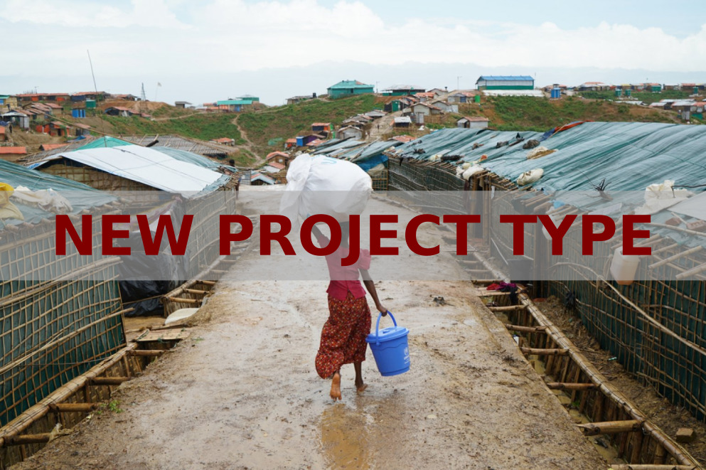
Feedback needed: New project type
Welcome to our new type of project to identify changes in locations over time. We're still working on everything but wanted to give you a sneak peak.
BREAK
• Use the tutorial to learn how to contribute
• Complete some tasks
• Use this form to tell us what you think.
BREAK
Project description
Kutupalong Camp site experienced a very large and fast influx of Rohingya refugees between 2017 and 2019. Since the beginning of the influx, Médecins Sans Frontières has scaled up their community based surveillance to monitor diseases, respond to outbreaks of diphtheria, and has been responding to the massive water and sanitation needs. Understanding the growth of the camp is essential for preparedness activities as it helps to identify areas and people most at risk.
BREAK
We want to test and show how MapSwipe could have helped in this situation. The results will be used to evaluate how the MapSwipe community can quickly identify changes in certain locations.
Daten herunterladen
Ergenis
Interessenbereich
Unsere Lizenz
Dieses Projekt ist Teil der OpenStreetMap Gemeinschaft. Das Ziel ist es Geographische Daten auf Qualitativ hohem Niveau frei zugänglich und für jedermann verfügbar zu machen. Die gegenseitige Lizenz von OSM schützt die Daten vor der Aneignung durch Dienste, die sie nicht an OSM zurückgeben.
MapSwipe wird unter einer „liberalen“ non-reciprocal license (Creative Commons Attribution) veröffentlicht. Wann immer du die Daten verwenden möchten, stelle sicher, dass du die MapSwipe-Mitwirkenden erwähnst.