Open Cities (2)

Projektübersicht
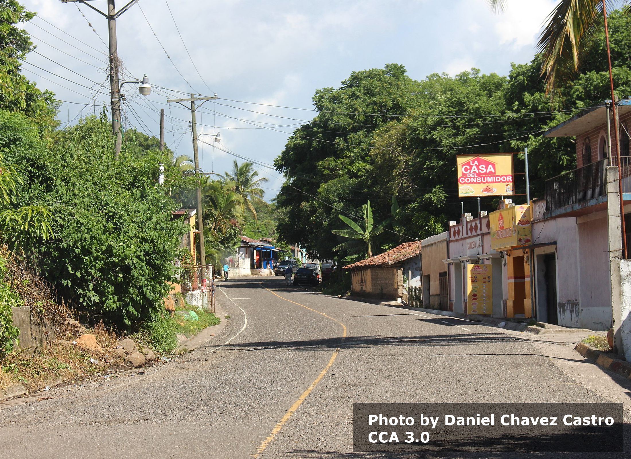
Within the framework of the Open Cities Latin America and Caribbean program, HOT will provide data to local institutions and various organizations working in the area for humanitarian aid and the consolidation of human settlements, consisting of improving their access to services and the quality of their housing, and developing local risk management capacities. The paths of hurricanes Eta and Iota did not directly touch the territory of Guatemala but resulted in intense tropical storms that impacted most of the Guatemalan territory in November 2020. The heavy rains caused catastrophic floods, landslides, and mudflows that affected 16 of 22 departments, mainly in rural areas with high levels of extreme poverty. Populations are still suffering the effects of this disaster to this day.
Daten herunterladen
Aggregierte Ergebnisse
Aggregierte Ergebnisse (mit Geodaten)
Geometriedaten des HOT Tasking Managers
Mäßig bis hohe Übereinstimmung bei "ja" "vielleicht" Geometrien
Gruppen
Historie
Ergenis
Aufgaben
Benutzer
Interessenbereich
Unsere Lizenz
Dieses Projekt ist Teil der OpenStreetMap Gemeinschaft. Das Ziel ist es Geographische Daten auf Qualitativ hohem Niveau frei zugänglich und für jedermann verfügbar zu machen. Die gegenseitige Lizenz von OSM schützt die Daten vor der Aneignung durch Dienste, die sie nicht an OSM zurückgeben.
MapSwipe wird unter einer „liberalen“ non-reciprocal license (Creative Commons Attribution) veröffentlicht. Wann immer du die Daten verwenden möchten, stelle sicher, dass du die MapSwipe-Mitwirkenden erwähnst.
