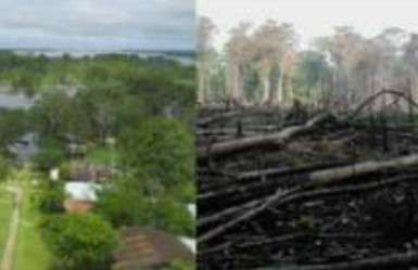
Find forest intervened and buildings (1)

Projektübersicht
Mapping in the Amazon takes on great importance when considering the vulnerability of the population and the imperative need to preserve its valuable natural resources. This region is home to communities exposed to various hazards, and detailed mapping provides essential information for planning mitigation and emergency response strategies. In addition, the Amazon, as a treasure trove of biodiversity, plays a crucial role in global climate stability. Accurate mapping facilitates the identification of critical areas, contributing to the implementation of adaptation, protection and sustainable planning measures to ensure the long-term survival of the region and its people.
Daten herunterladen
Aggregierte Ergebnisse
Aggregierte Ergebnisse (mit Geodaten)
Geometriedaten des HOT Tasking Managers
Mäßig bis hohe Übereinstimmung bei "ja" "vielleicht" Geometrien
Gruppen
Historie
Ergenis
Aufgaben
Benutzer
Interessenbereich
Unsere Lizenz
Dieses Projekt ist Teil der OpenStreetMap Gemeinschaft. Das Ziel ist es Geographische Daten auf Qualitativ hohem Niveau frei zugänglich und für jedermann verfügbar zu machen. Die gegenseitige Lizenz von OSM schützt die Daten vor der Aneignung durch Dienste, die sie nicht an OSM zurückgeben.
MapSwipe wird unter einer „liberalen“ non-reciprocal license (Creative Commons Attribution) veröffentlicht. Wann immer du die Daten verwenden möchten, stelle sicher, dass du die MapSwipe-Mitwirkenden erwähnst.
