Compare - Public Health (1)

Projektübersicht
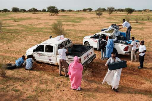
MSF teams are currently doing an explo to understand the needs of the population living in the Bassikounou district in the south east of Mauritania. To improve their understanding of population numbers and to plan for a health survey they are asking support from you to help mapping all buildings in the district. In this project you are looking to detect new buildings between two sets of imagery. The imagery used in this project is 1) © 2019 ESRI and 2) © Airbus DS (2024), Provided by the Airbus Foundation. Please use the tutorial to learn how to contribute. Note: We are aware the resolution of the bottom imagery is quite low, however it is the most recent imagery we have that we can use for comparison. Thank you for your cooperation and mapping efforts.
Daten herunterladen
Aggregierte Ergebnisse
Aggregierte Ergebnisse (mit Geodaten)
Geometriedaten des HOT Tasking Managers
Mäßig bis hohe Übereinstimmung bei "ja" "vielleicht" Geometrien
Gruppen
Historie
Ergenis
Aufgaben
Benutzer
Interessenbereich
Unsere Lizenz
Dieses Projekt ist Teil der OpenStreetMap Gemeinschaft. Das Ziel ist es Geographische Daten auf Qualitativ hohem Niveau frei zugänglich und für jedermann verfügbar zu machen. Die gegenseitige Lizenz von OSM schützt die Daten vor der Aneignung durch Dienste, die sie nicht an OSM zurückgeben.
MapSwipe wird unter einer „liberalen“ non-reciprocal license (Creative Commons Attribution) veröffentlicht. Wann immer du die Daten verwenden möchten, stelle sicher, dass du die MapSwipe-Mitwirkenden erwähnst.
