Find - Buildings in Kudat Town, Sabah (1)
Projektübersicht
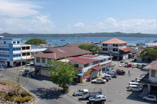
Kudat Town, located along Sabah's northern coast, is on the frontlines of climate change. The town faces growing threats from rising sea levels, coastal erosion, and extreme weather events, which put its communities and ecosystems at risk. Accurate and detailed mapping is essential for understanding these vulnerabilities and supporting climate action. This project leverages the power of community mapping to identify building footprints in Kudat using MapSwipe. By utilizing this user-friendly tool, volunteers can quickly and efficiently identify areas with buildings, providing a solid foundation for more detailed mapping efforts. Once the initial mapping is complete, buildings within the identified areas will be traced using the HOT Tasking Manager to improve data for climate resilience planning. The collected data will aid in disaster risk reduction, adaptive infrastructure design, and sustainable coastal management, empowering local communities to better prepare for and respond to climate challenges.
Daten herunterladen
Aggregierte Ergebnisse
Aggregierte Ergebnisse (mit Geodaten)
Geometriedaten des HOT Tasking Managers
Mäßig bis hohe Übereinstimmung bei "ja" "vielleicht" Geometrien
Gruppen
Historie
Ergenis
Aufgaben
Benutzer
Interessenbereich
Unsere Lizenz
Dieses Projekt ist Teil der OpenStreetMap Gemeinschaft. Das Ziel ist es Geographische Daten auf Qualitativ hohem Niveau frei zugänglich und für jedermann verfügbar zu machen. Die gegenseitige Lizenz von OSM schützt die Daten vor der Aneignung durch Dienste, die sie nicht an OSM zurückgeben.
MapSwipe wird unter einer „liberalen“ non-reciprocal license (Creative Commons Attribution) veröffentlicht. Wann immer du die Daten verwenden möchten, stelle sicher, dass du die MapSwipe-Mitwirkenden erwähnst.