Find Features - Find Buildings_Nhamatanda - Mozambique (1) HOT
Find Features
Finished
Mozambique
HOT
Jun 4, 2026
Project overview
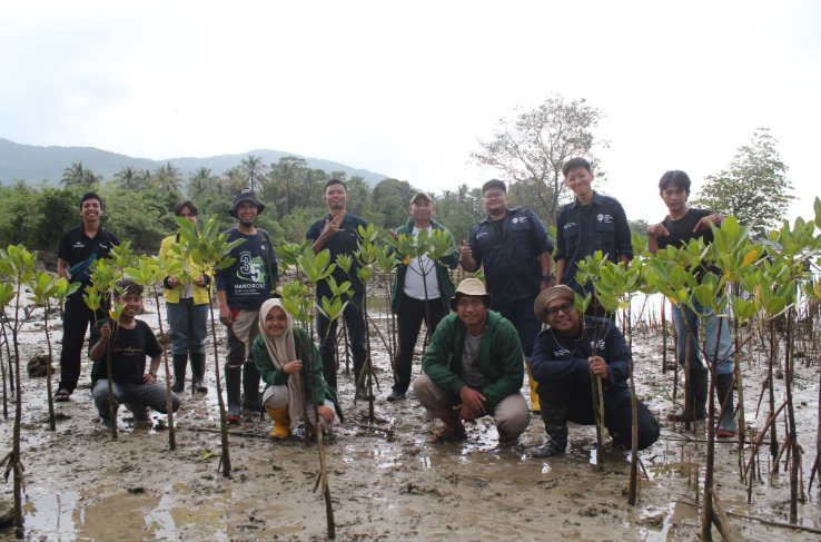
Mangrove ecosystems in Mozambique provide critical environmental and social benefits, including coastal protection, biodiversity conservation, carbon storage, and support for fisheries and local livelihoods. However, increasing human activity in and around mangrove areas is placing growing pressure on these ecosystems. Identifying and mapping buildings located near mangrove forests can help reveal patterns of land-use change, settlement expansion, and potential environmental degradation.
4016
km2
0
Contributors
Project Completion
0% completed
Download the data
Below you'll find the data downloads for this MapSwipe project, including a GeoJSON file that can be imported into the HOT Tasking Manager for more detailed mapping of the area. If you need more information or if you have a special request related to MapSwipe data get in contact with the team at the Heidelberg Institute for Geoinformation Technology
Area of Interest
This dataset contains information on the project region.
GEOJSON
0.7 kB
Our license
This project is part of the OpenStreetMap community. The goal is high-quality geographical data, freely accessible and available to everyone. OSM’s reciprocal license protects the data from being appropriated by services that do not share back to OSM.
MapSwipe is released under a "liberal" non-reciprocal license (Creative Commons Attribution). Whenever you want to use the data, just make sure to credit the MapSwipe contributors.
