
Find Features - Find Buildings Climate Resilience - Botswana (7) HOT
Find Features
Active
Botswana
HOT
Jul 28, 2026
Project overview
This project aims to strengthen the capacity of young people in Botswana to collect, manage, and use geospatial data to support climate risk reduction and community resilience.
In collaboration with UNICEF/Yoma, and local organizations across Botswana, Lesotho, Eswatini, and South Africa, ,through hands-on training and participatory mapping, local youth will acquire practical skills in geospatial technologies while working alongside communities to collect data on buildings and informal settlements.
The project will generate community-driven geospatial datasets to better understand the links between informal settlements and climate-related hazards, such as flooding and extreme heat. By combining local knowledge with spatial data, the initiative will provide valuable evidence to support climate adaptation, disaster risk reduction, and more inclusive urban planning, while empowering young people to play an active role in building resilient communities.
You can learn more about this project by reading **[this blog post](https://www.hotosm.org/en/projects/youth-climate-mapping-for-the-youth-force-in-southern-africa/)**
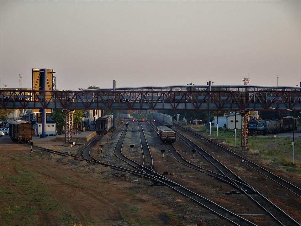
Picture by Sarvesh Lutchmun under [Creative Commons Attribution-Share Alike 4.0](https://creativecommons.org/licenses/by-sa/4.0) license
525
km2
45
Contributors
Project Completion
100% completed
Last updated: Aug 15, 2026
Download the data
Below you'll find the data downloads for this MapSwipe project, including a GeoJSON file that can be imported into the HOT Tasking Manager for more detailed mapping of the area. If you need more information or if you have a special request related to MapSwipe data get in contact with the team at the Heidelberg Institute for Geoinformation Technology
Aggregated Results
Aggregated Results. This gives you the unfiltered MapSwipe results aggregated on the task level. This is most suited if you want to apply some custom data processing with the MapSwipe data, e.g. select only specific tasks. Check our documentation for more details. (Note that you need to unzip this .gz file before you can use it.)
GZIP
0.8 MB
Aggregated Results (with Geometry)
Aggregated Results. This gives you the unfiltered MapSwipe results aggregated on the task level. This is most suited if you want to apply some custom data processing with the MapSwipe data, e.g. select only specific tasks. Check our documentation for more details. (Note that you need to unzip this .gz file before you can use it.)
GZIP
0.8 MB
Groups
Groups. (Note that you need to unzip this .gz file before you can use it.)
GZIP
2.9 kB
History
History
CSV
0.6 kB
Results
This gives you the unfiltered MapSwipe results. (Note that you need to unzip this .gz file before you can use it.)
GZIP
0.7 MB
Tasks
Tasks. (Note that you need to unzip this .gz file before you can use it.)
GZIP
0.7 MB
Users
This dataset contains information on the individual contributions per user. This tells you for instance the most active users of this project. (Note that you need to unzip this .gz file before you can use it.)
GZIP
2.3 kB
Area of Interest
This dataset contains information on the project region.
GEOJSON
18.1 kB
HOT Tasking Manager Geometries
This dataset contains shapes that are ready to use in the HOT Tasking Manager. Currently, the geometries consist of maximum 15 MapSwipe Tasks, where at least 35% of all users indicated the presence of a building by classifying as "yes" or "maybe"
GEOJSON
53.4 kB
Moderate to High Agreement Yes Maybe Geometries
This dataset contains all results where at least 35% of users submitted a "yes" or "maybe" classification. The output dataset depicts the union of all selected results.
GEOJSON
95 kB
Our license
This project is part of the OpenStreetMap community. The goal is high-quality geographical data, freely accessible and available to everyone. OSM’s reciprocal license protects the data from being appropriated by services that do not share back to OSM.
MapSwipe is released under a "liberal" non-reciprocal license (Creative Commons Attribution). Whenever you want to use the data, just make sure to credit the MapSwipe contributors.
