Find Features - Help #Monash - Mali (2) MSF
Find Features
Finished
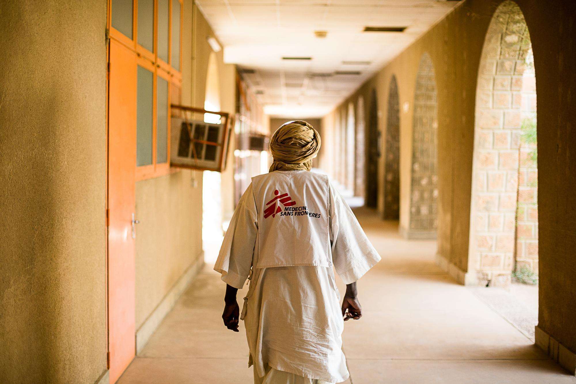
Mali
MSF
Oct 13, 2025
Project overview
"Since 2015 there is a significant disruption of security by armed groups in Douentza in Mali. The health and humanitarian situation in the area is already seriously affected. Up-to-date maps are essential to know where the population is, to reach populations in danger more quickly and to manage the safety of humanitarians working in the area."
6108
km2
0
Contributors
Project Completion
0% completed
Download the data
Below you'll find the data downloads for this MapSwipe project, including a GeoJSON file that can be imported into the HOT Tasking Manager for more detailed mapping of the area. If you need more information or if you have a special request related to MapSwipe data get in contact with the team at the Heidelberg Institute for Geoinformation Technology
Results
This gives you the unfiltered MapSwipe results. (Note that you need to unzip this .gz file before you can use it.)
GZIP
0.1 kB
Area of Interest
This dataset contains information on the project region.
GEOJSON
0.7 kB
Our license
This project is part of the OpenStreetMap community. The goal is high-quality geographical data, freely accessible and available to everyone. OSM’s reciprocal license protects the data from being appropriated by services that do not share back to OSM.
MapSwipe is released under a "liberal" non-reciprocal license (Creative Commons Attribution). Whenever you want to use the data, just make sure to credit the MapSwipe contributors.
