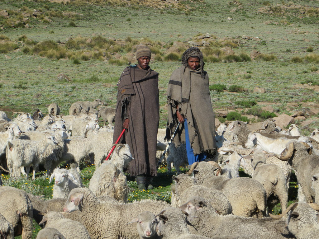
Locating isolated herders (2)

परियोजना अवलोकन
The Highlands of Lesotho occupies the largest part of the country and is characterised by rugged terrain, with remote villages which are difficult to reach. It is also known for heavy snow during winter season. This harsh weather poses a life threat to herders in remote pasture lands, commonly known as Cattle Post Areas, often losing their lives trapped in snow and aid workers unable to locate them. In this project, help us to identify buildings and huts so that humanitarian aid workers know where to go when disaster strikes.
डाटा डाउनलोड गर्नुहोस्
समग्र परिणामहरू
समग्र परिणाम (ज्यामिति संग)
HOT टास्किङ प्रबन्धक ज्यामिति
मध्यम देखि उच्च सम्झौता हो सायद ज्यामिति
समूहहरू
इतिहास
परिणामहरू
कार्यहरू
प्रयोगकर्ताहरू
चासोको क्षेत्र
हाम्रो इजाजत पत्र
यो परियोजना OpenStreetMap समुदाय को एक हिस्सा हो। हाम्रो लक्ष्य भनेको उच्च गुणस्तरको भौगोलिक डाटा, स्वतन्त्र रूपमा पहुँचयोग्य र सबैका लागि उपलब्ध बनाउने हो। OSM को पारस्परिक इजाजतपत्रले OSM मा फिर्ता साझेदारी नगर्ने सेवाहरू द्वारा डाटालाई विनियोजित हुनबाट सुरक्षित राख्छ।
MapSwipe "उदार" गैर-पारस्परिक लाइसेन्स (क्रिएटिभ कमन्स एट्रिब्युशन) अन्तर्गत जारी गरिएको छ। जब तपाइँ डाटा प्रयोग गर्नुहुन्छ, MapSwipe योगदानकर्ताहरूलाई श्रॆयअवश्य दिनुहोला।
